Plate 01 · The study atlas
The atlas you can tap, built for geography revision.
Every river, range and capital in a hand-lettered atlas, with a revision loop that brings back what you’re about to forget. No account. No internet needed.
- Works offline
- No sign-up
- Survey of India boundary
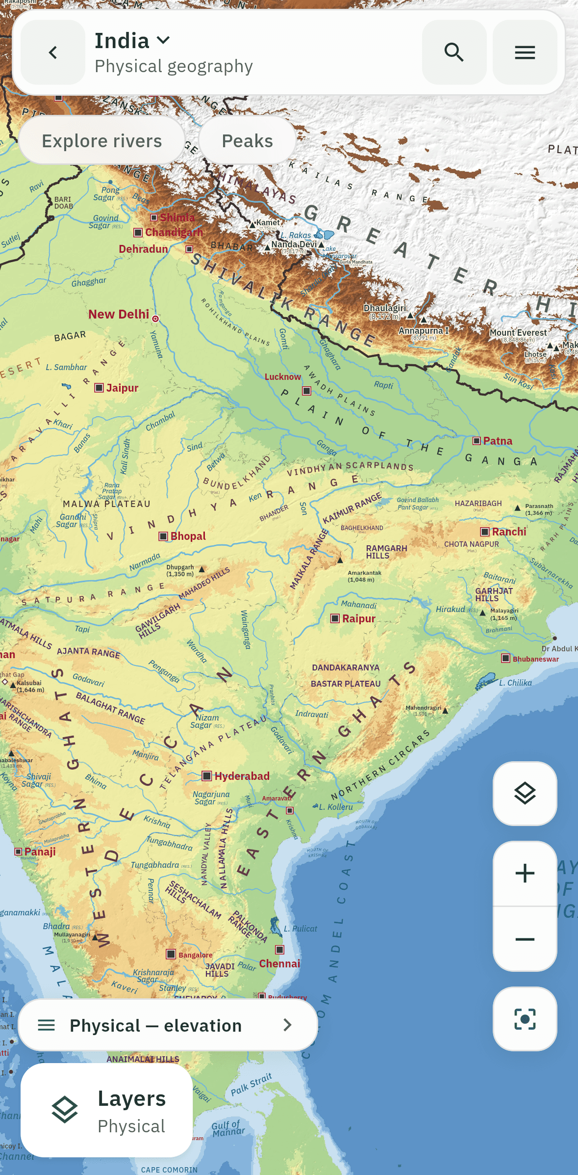
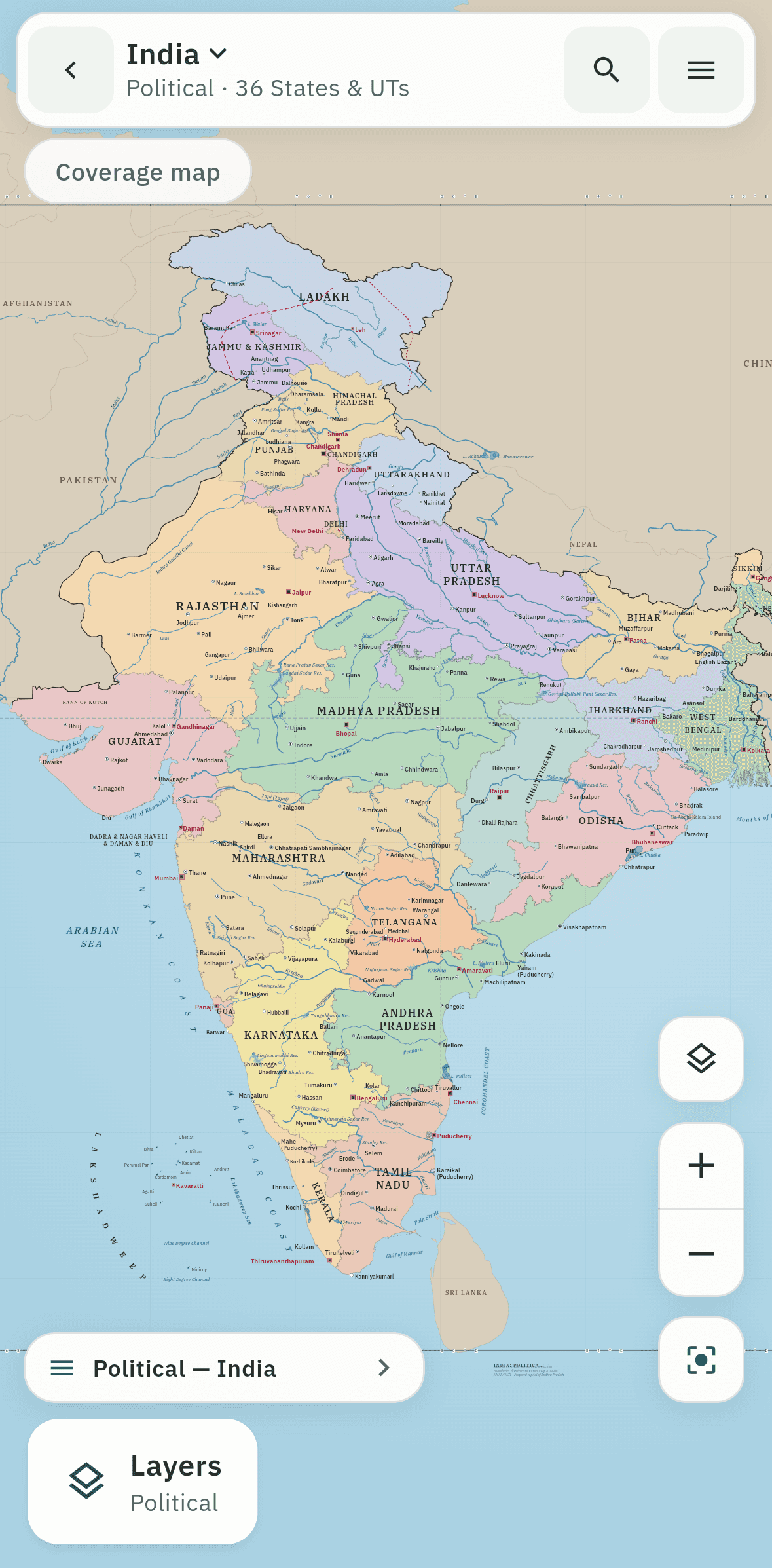
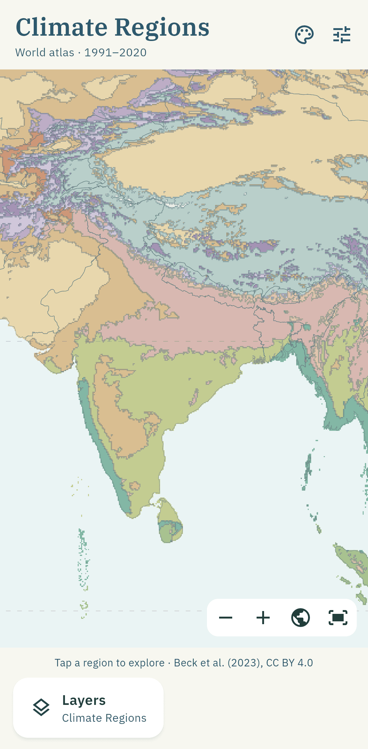
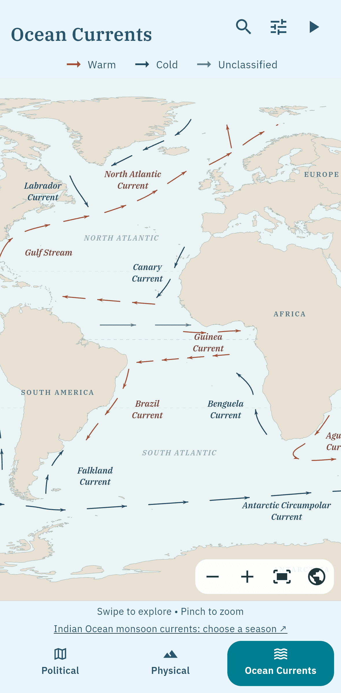
Plate 02 · The problem
Maps are on the syllabus. Most map tools aren’t built for it.
PDF maps don’t quiz you back.
A static map is easy to look at and easy to forget. You can’t tap it, test yourself on it or see what you’ve covered.
Global map apps get India wrong.
Many show a disputed boundary, and most need a data connection to load anything at all.
Notes don’t stick.
Re-reading a list of rivers isn’t recall. Without spaced review, last month’s revision is gone by exam day.
AtlasMitra puts the map, the facts and the revision in one app that works on a train, in a hostel, anywhere.
Plate 03 · Tap anything
Tap any feature. Get its fact card.
Countries, states, rivers, peaks: every label on the sheet is a door. The lettering curves along ranges and follows the coastline, the way a printed atlas does.
See all features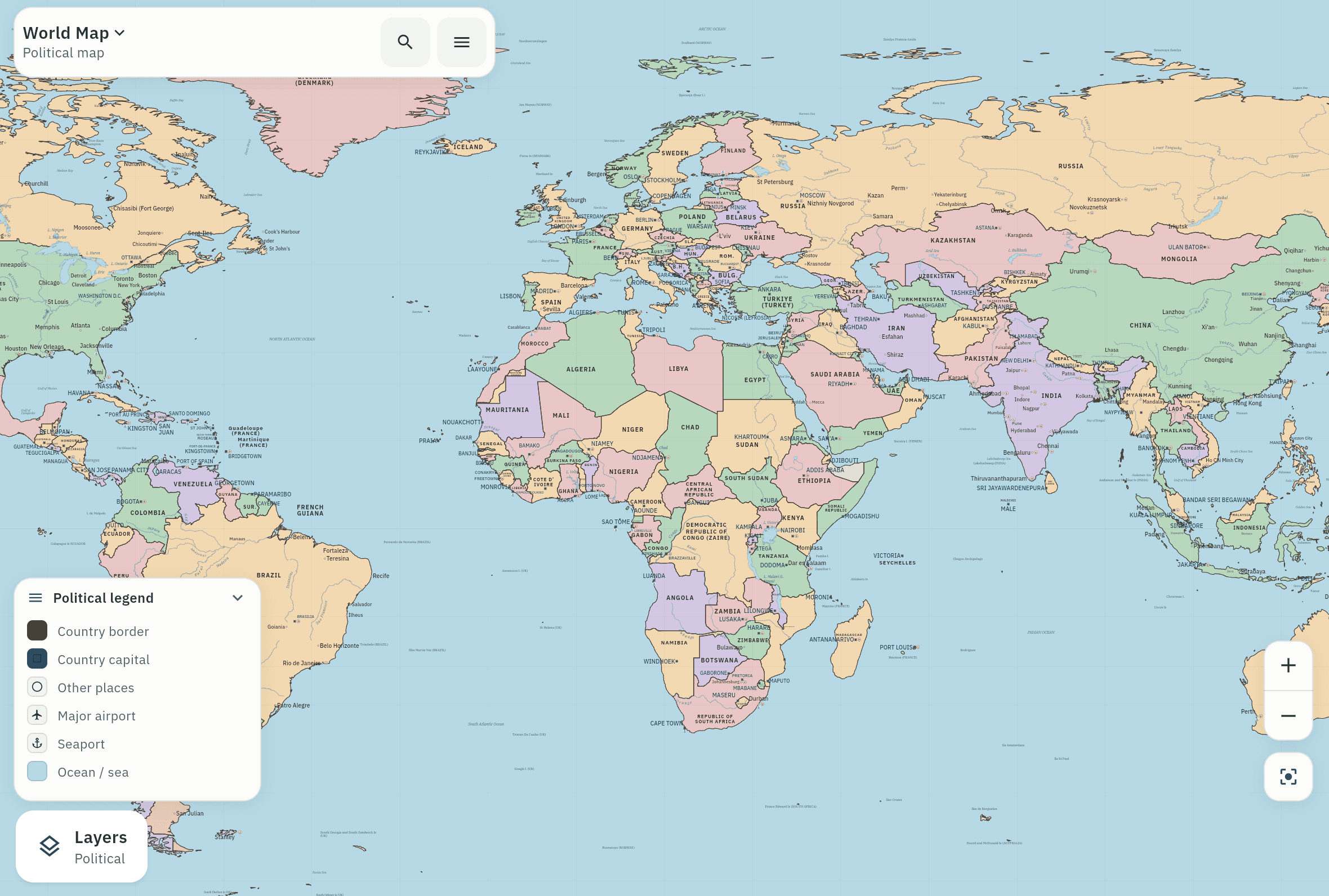
Plate 04 · India in depth
India, sheet by sheet, state by state.
Political and physical sheets, all 36 States and UTs with district drill-down, and explorers you open by holding a feature on the map.
- river study cards
- 75
- peaks
- 30
- long ranges
- 8
Plate 05 · Thematic maps
Every map the syllabus asks for.
Nine world thematic layers, each drawn from a cited scientific source.
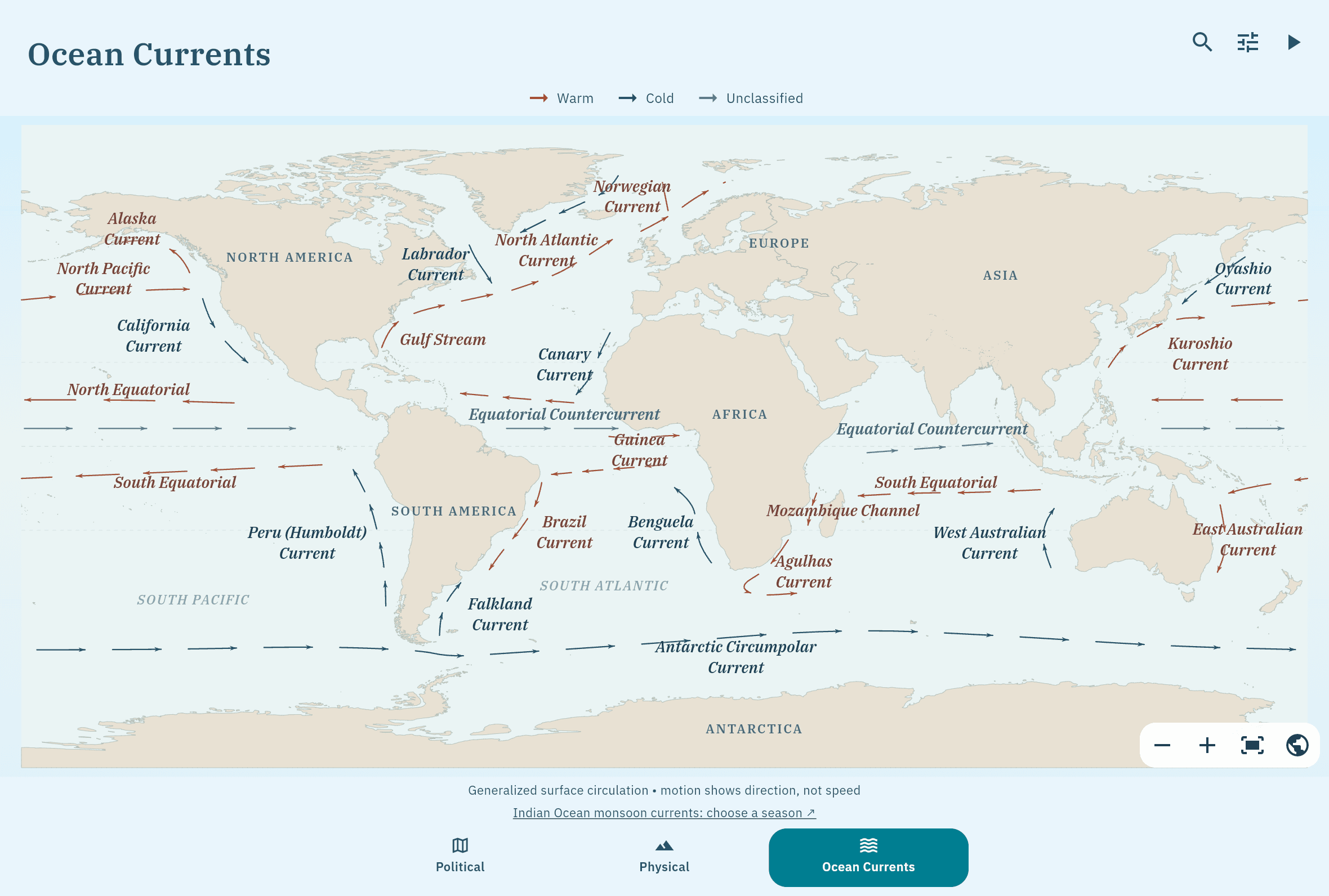
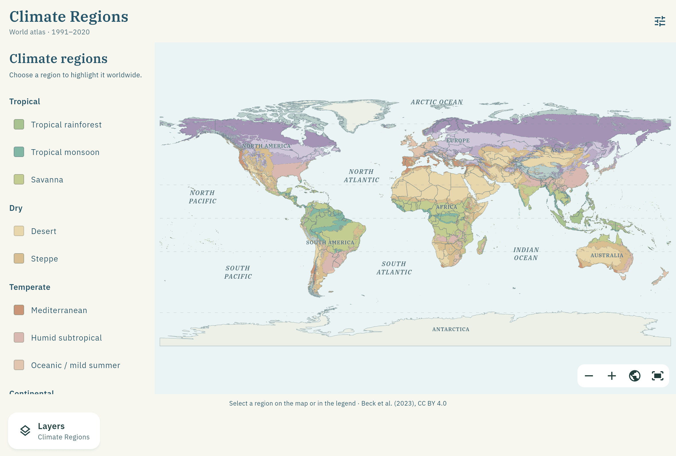
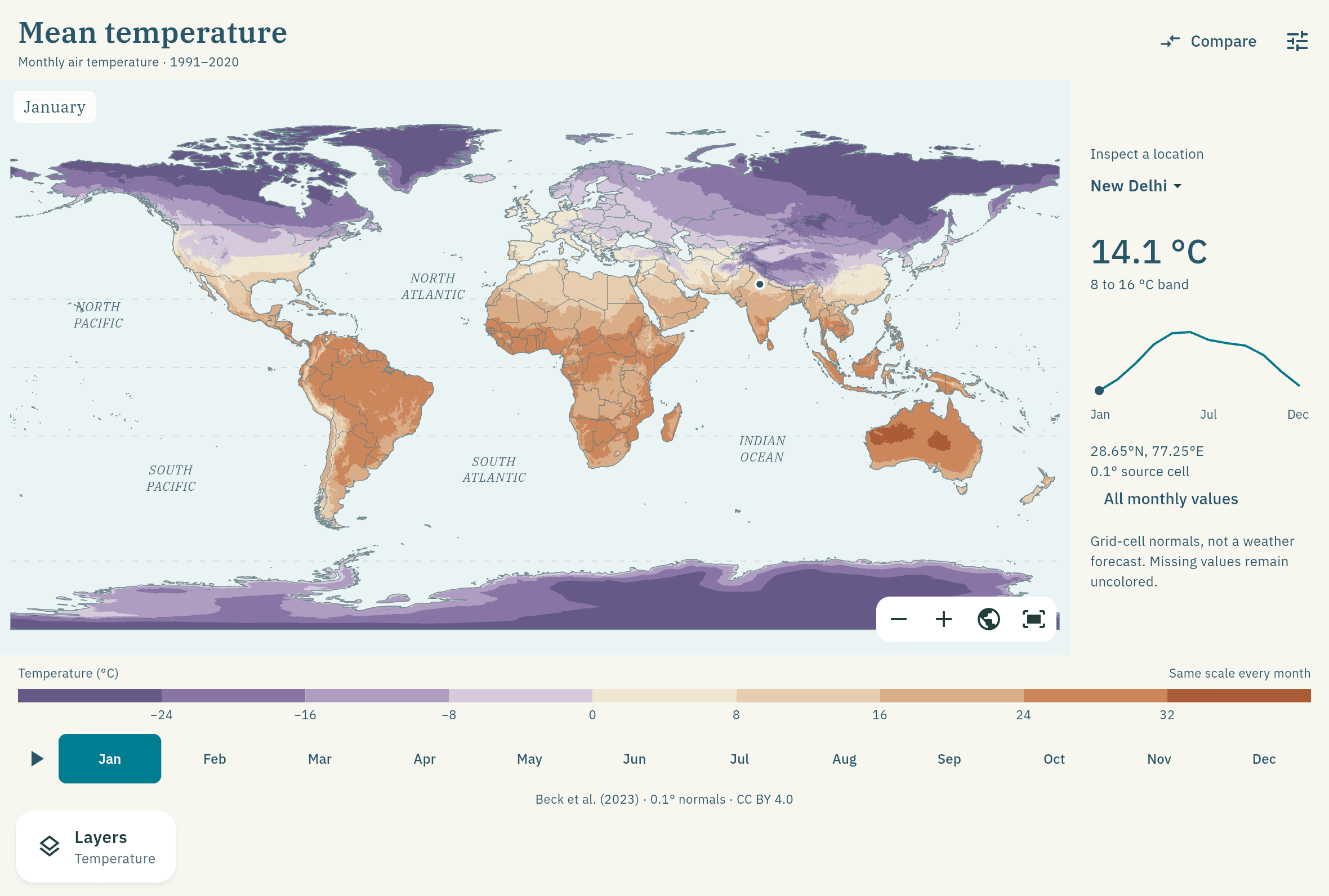
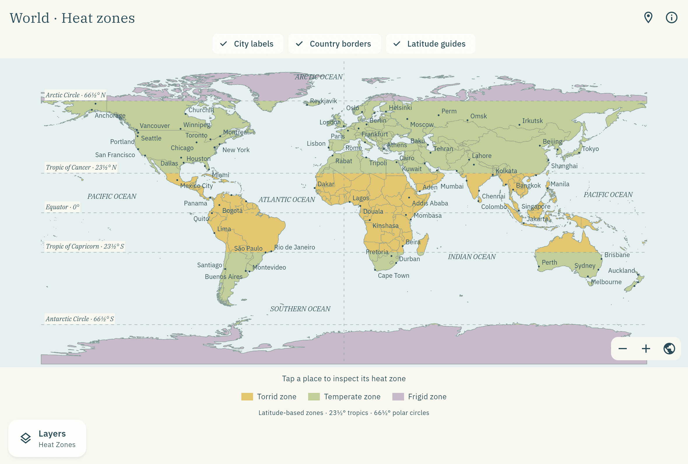
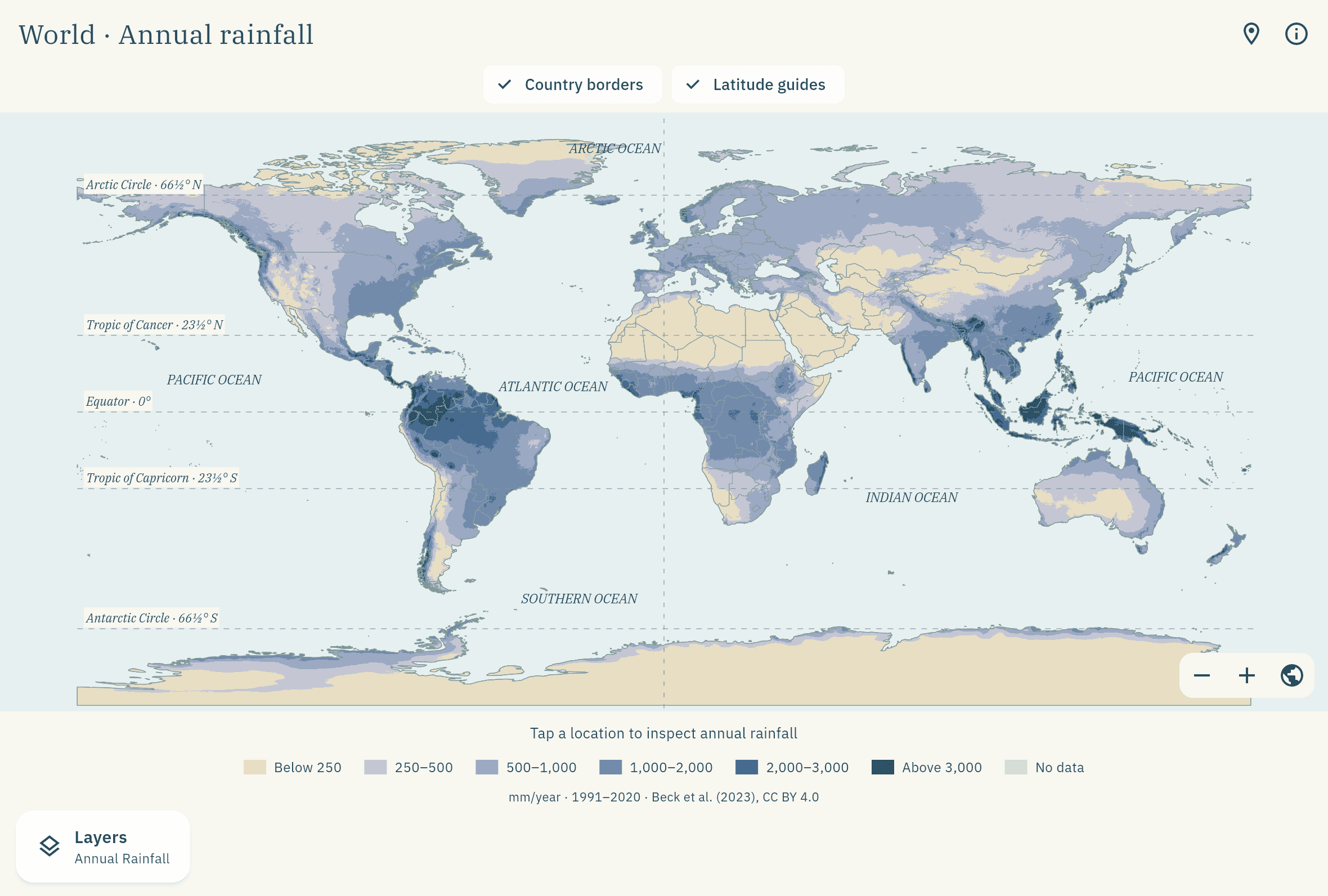
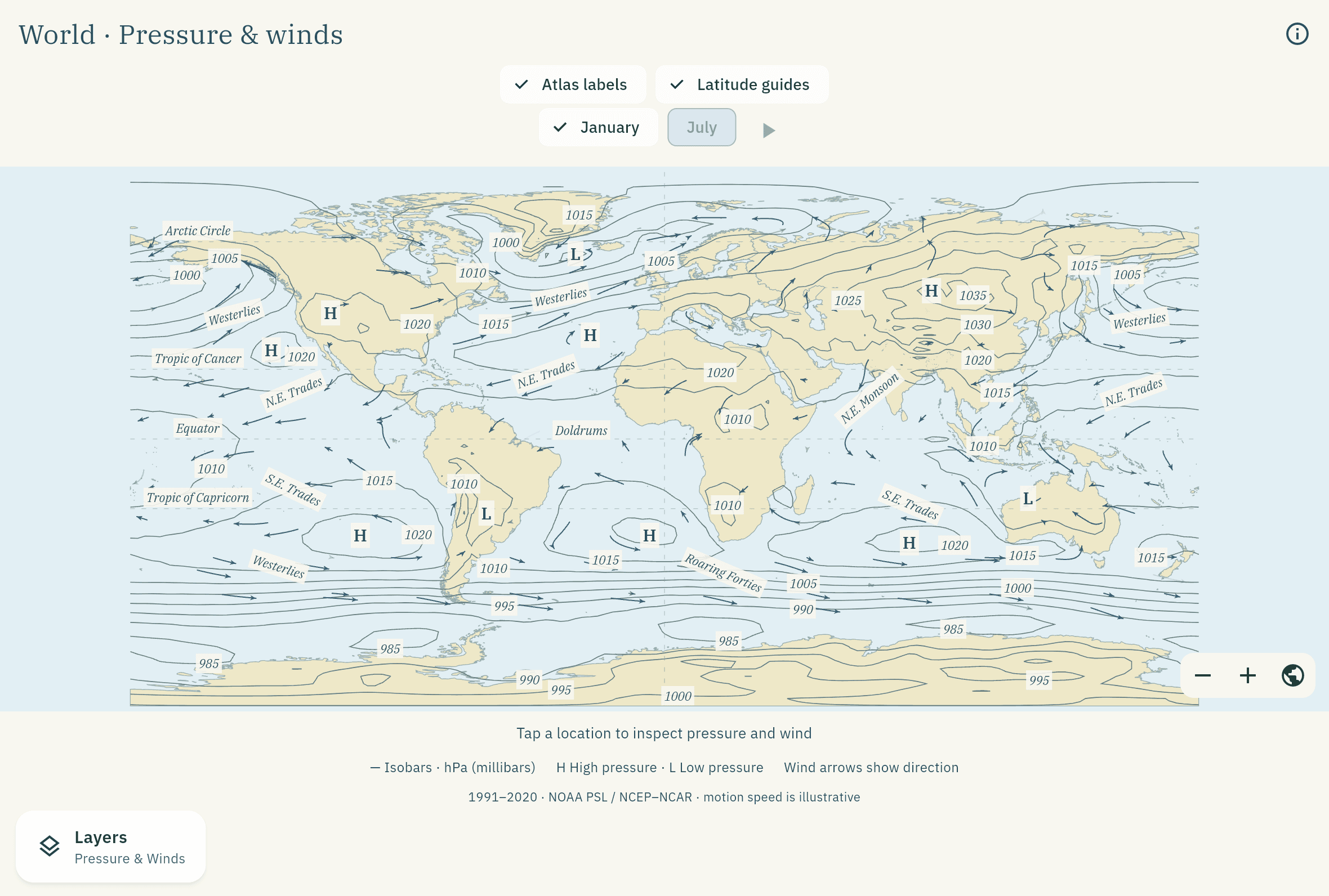
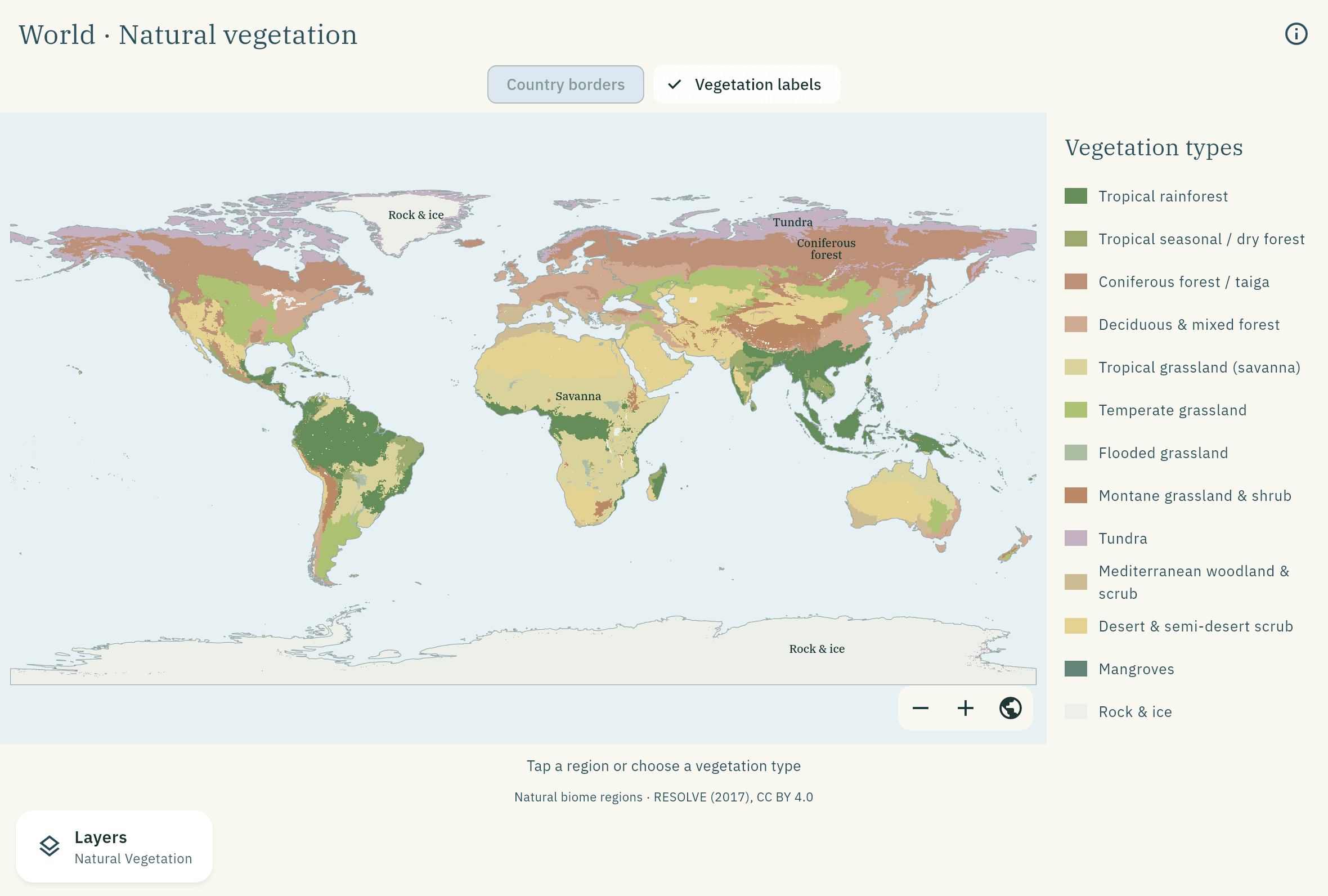
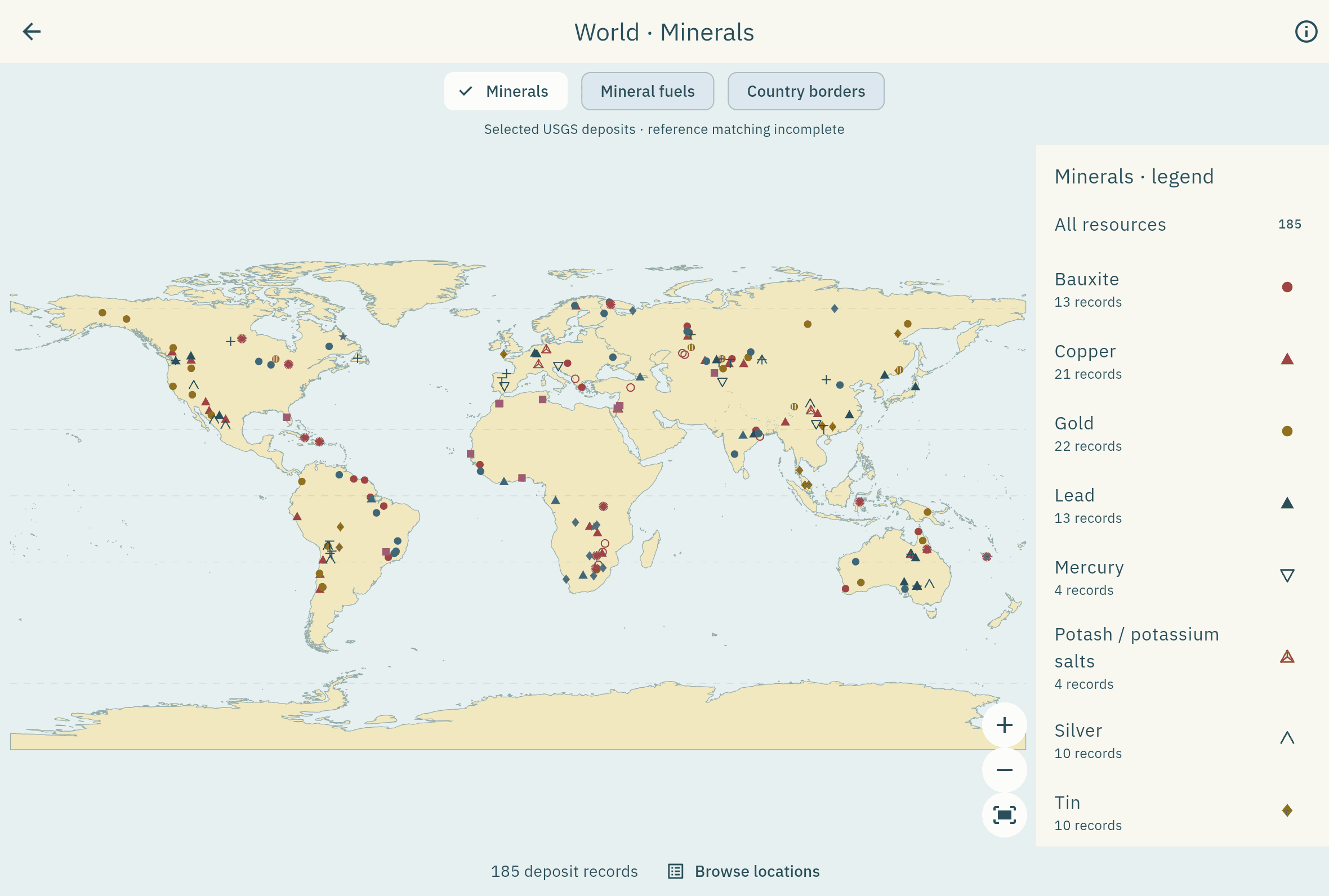
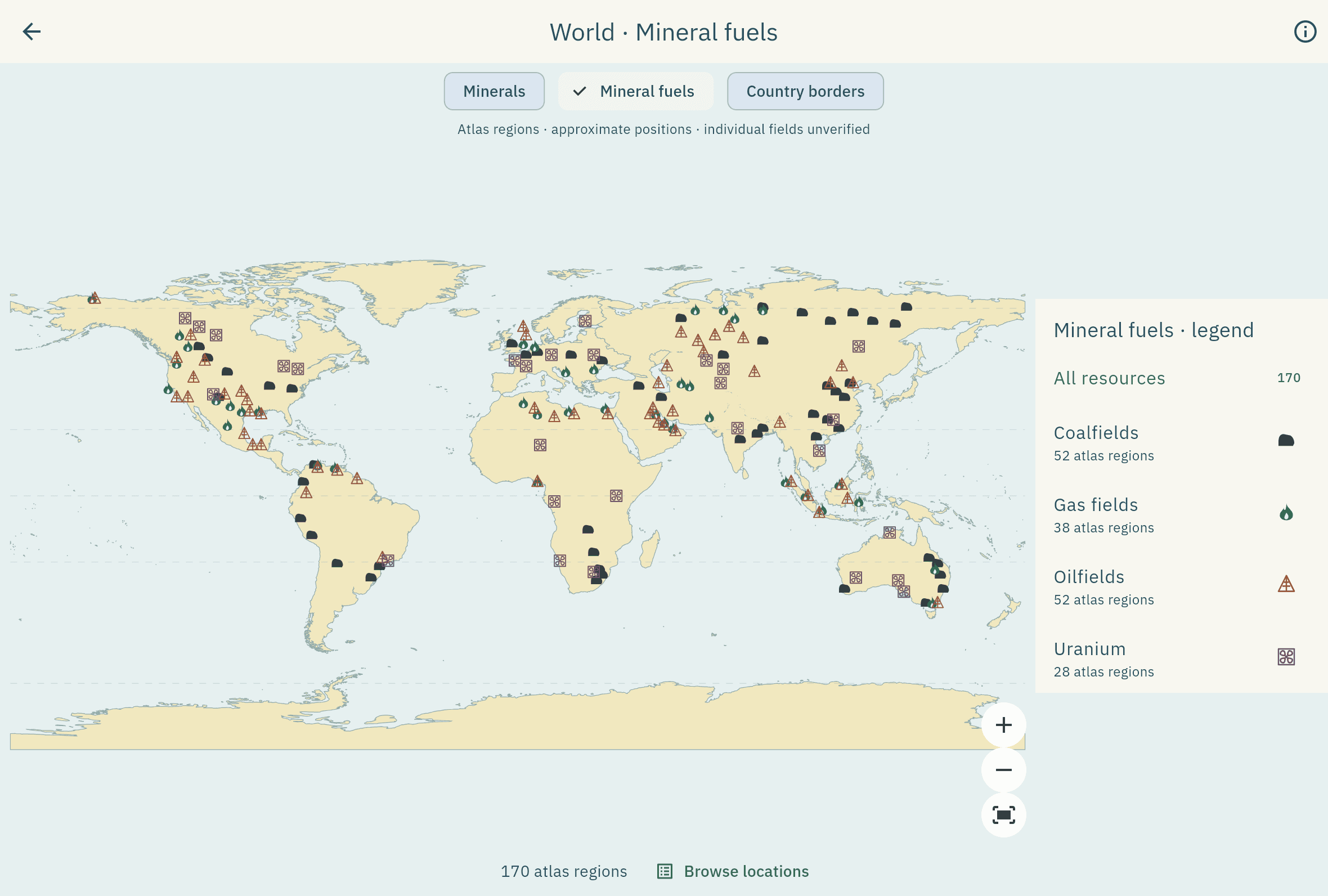
Plate 06 · The revision loop
Revise, don’t re-read.
- 1Daily 5. Capital recall plus “tap the location on the map”.
- 2Spaced repetition. Get it right and the gap grows; miss it and it’s back tomorrow.
- 3A forgiving streak. One repair freeze, so a single missed day doesn’t wipe the run.
- 4Mastery map. Watch the atlas colour in as you learn it.
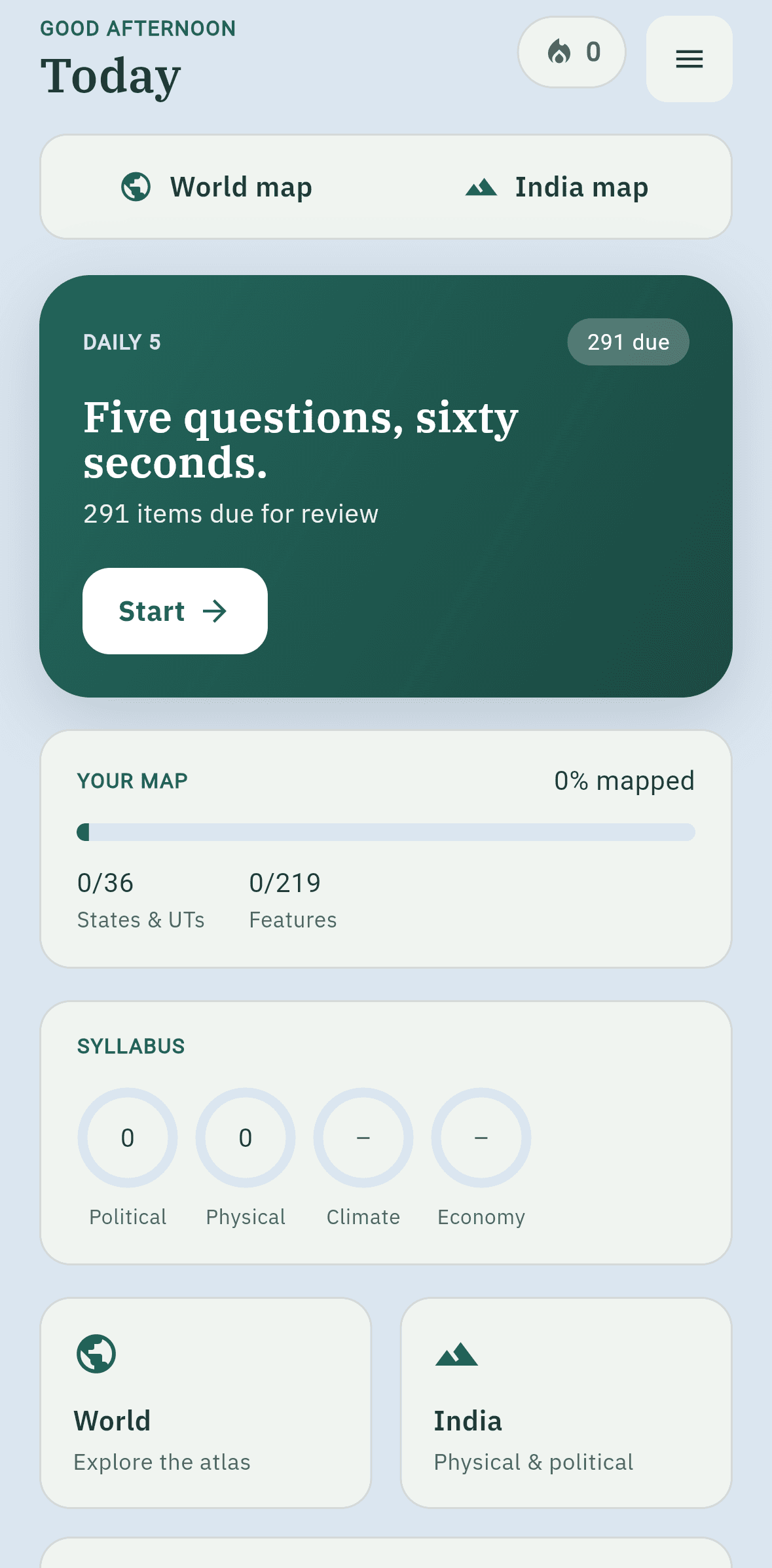
Plate 07 · Offline & private
Everything ships inside the app. Nothing leaves it.
No internet needed
Every map, label and study card is bundled. No network calls while you study.
No account
Open it and start. No sign-up, no email, no phone number.
Progress stays on your device
No tracking inside the app. Your streak and mastery are yours alone.
Back up any time
Export your progress as a file and import it on a new phone.
Plate 08 · Accuracy
India, drawn correctly. Every source, cited.
India is shown with its full extent as per the Survey of India, including PoK and Aksai Chin. Automated tests check the boundary on every build.
See every source and licence- Survey of India
- Natural Earth
- OpenStreetMap
- USGS
- NOAA NCEP/NCAR
- Beck et al. 2023
- RESOLVE Ecoregions
- GloH2O
Plate 09 · For aspirants
Mapped to the way you’ll be tested.
| Syllabus area | Where it lives in AtlasMitra |
|---|---|
| Physical geography | Physical sheets, Pressure & Winds, Ocean Currents, Climate Regions |
| Indian geography | India political & physical, state drill-down, river, peak and range explorers |
| World geography | World and seven continents, political and physical |
| Resources and environment | Natural Vegetation, Minerals and Mineral Fuels layers |
| Map-based questions | Daily 5 “tap the location” questions with spaced review |
Questions
Does it really work without internet?
Yes. Every map, label and study card ships inside the app, and it makes no network calls while you use it.
Do I need an account?
No. Open the app and start. There is no sign-up, email or phone number.
How is India’s boundary shown?
With the official Survey of India extent, including PoK and Aksai Chin. Automated tests check it on every build.
Which exams is it for?
Any competitive exam with a geography section: civil services, state services, defence entrances, banking and other government recruitment exams. It is also useful for school and college geography.
What will it cost?
Pricing has not been announced yet. Early-access members will hear first.
Be first to open the atlas.
Leave your email and we’ll tell you the day AtlasMitra launches.