Features
One atlas. Every map you’ll be asked about.
Four modules that share one map engine: tap any feature for its fact card, and the lettering curves along ranges and coasts the way a printed atlas does.
Module 01
India in depth
Political and physical sheets, 36 States and UTs with districts, and study cards for 75 rivers, 30 peaks and 8 ranges.
Explore india in depth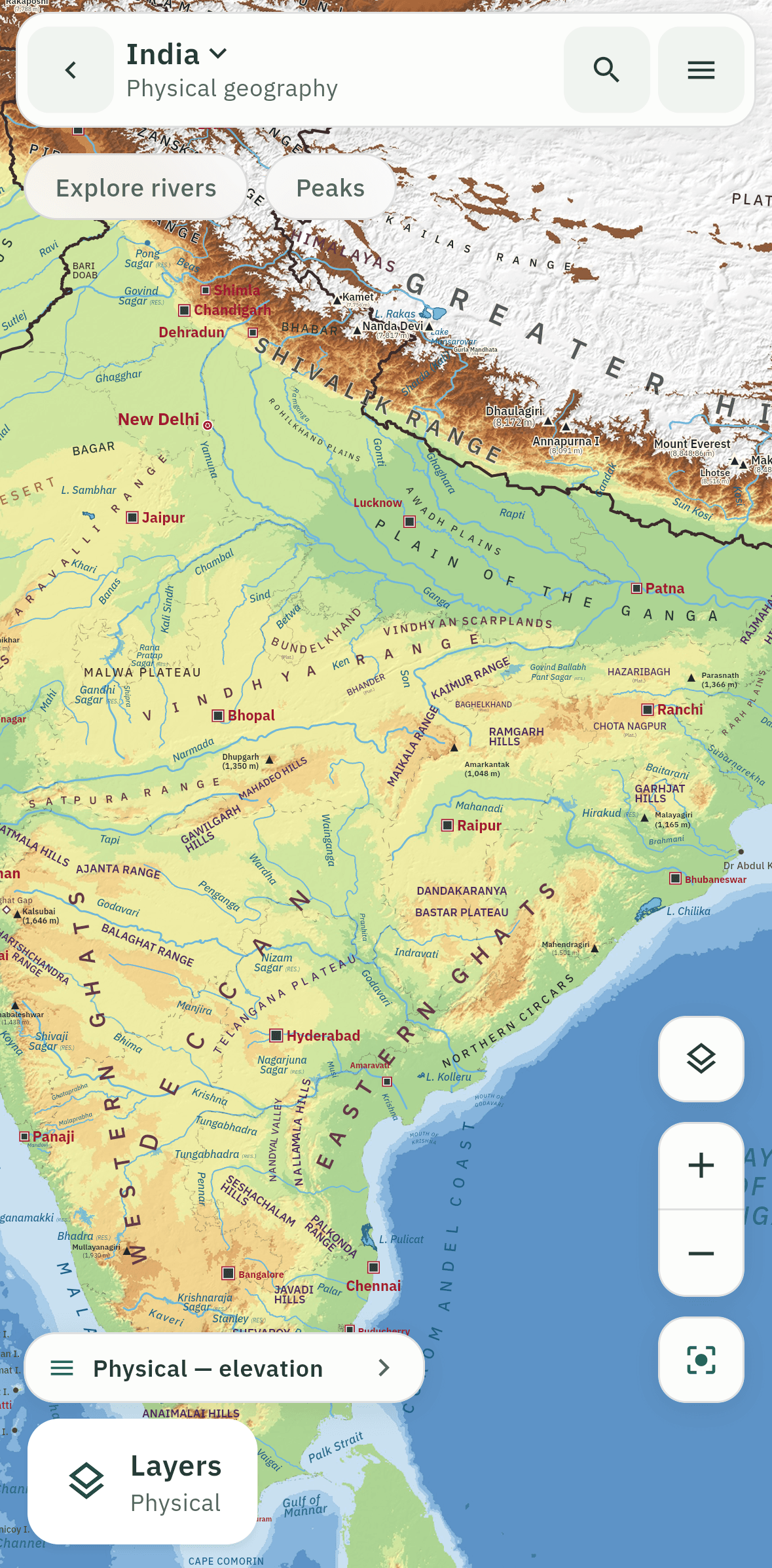
Module 02
World and continents
A political and a physical world map, and dedicated sheets for all seven continents: Africa, Asia, Europe, North America, South America, Oceania, Antarctica.
Explore world and continents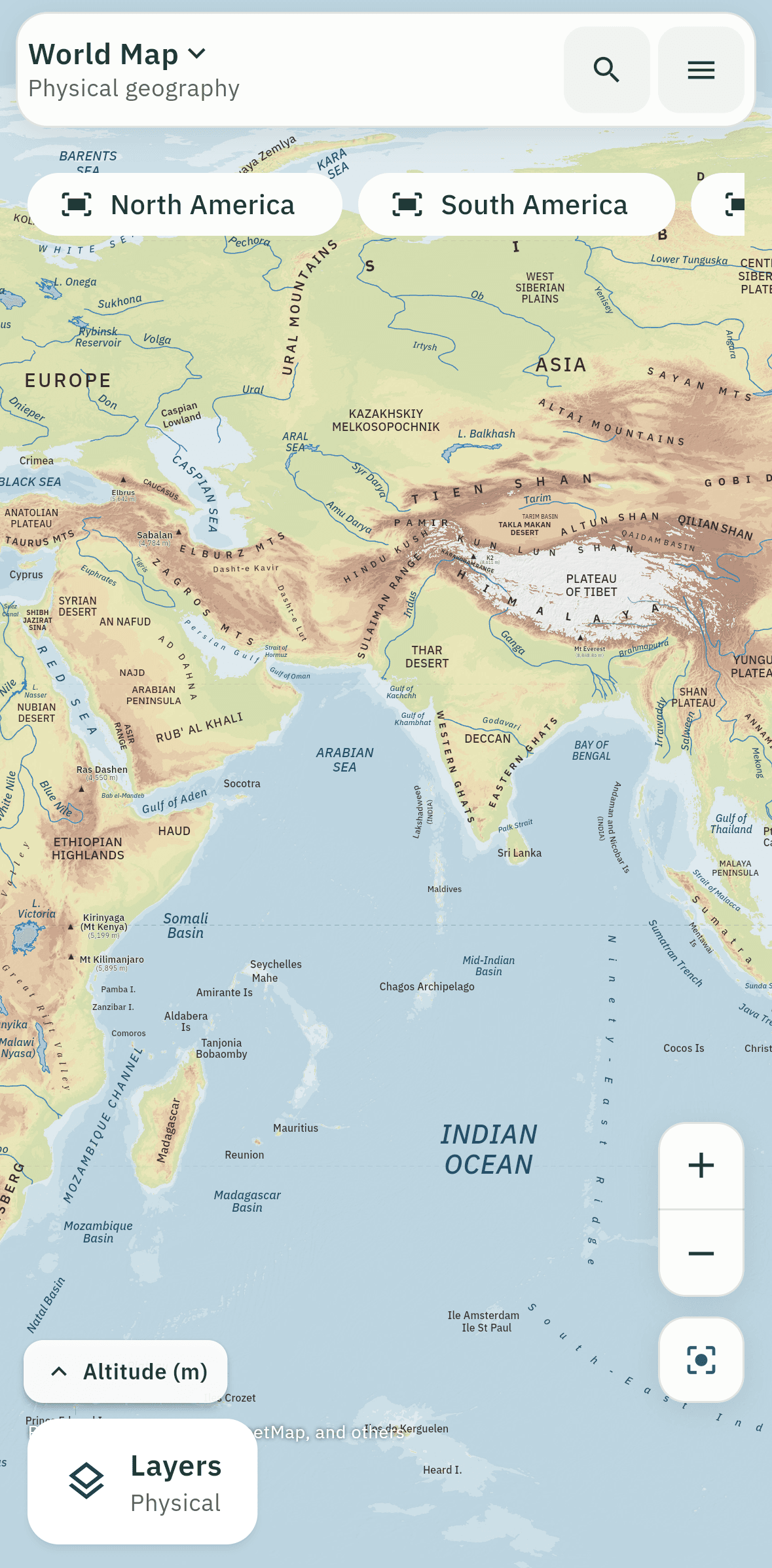
Module 03
Nine thematic maps
Ocean Currents, Climate Regions, Temperature, Heat Zones, Annual Rainfall, Pressure & Winds, Natural Vegetation, Minerals, Mineral Fuels.
Explore nine thematic maps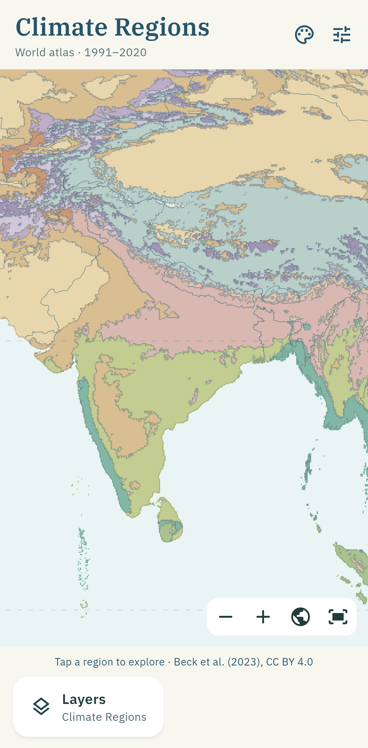
Module 04
The revision loop
A Daily 5 quiz with spaced repetition, a forgiving streak and a mastery map that colours in as you learn.
Explore the revision loop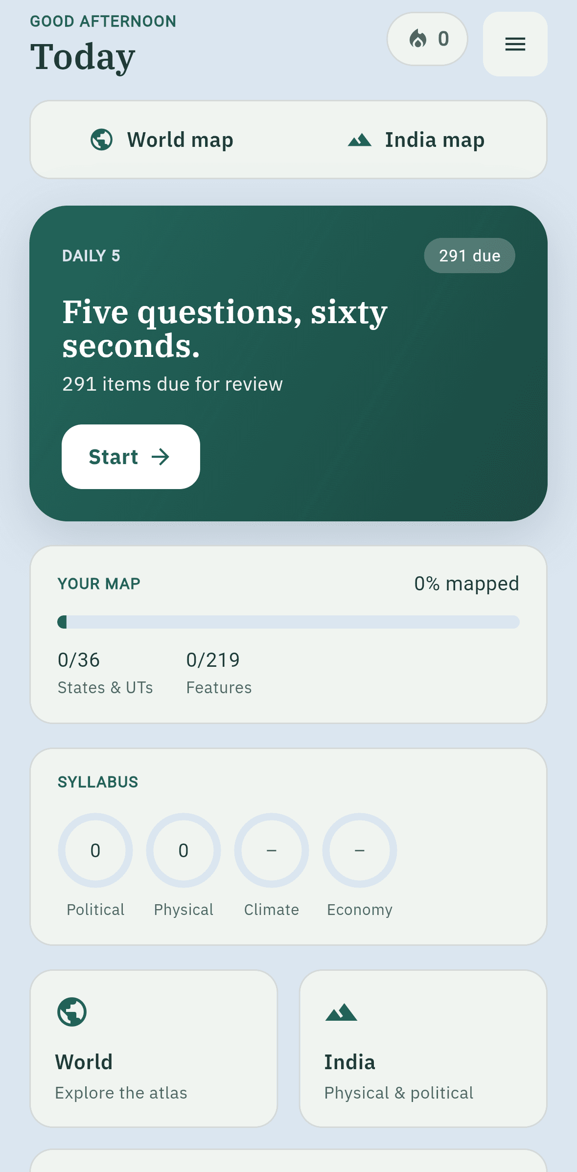
Across every module
The details that make it feel like an atlas
Collision-free lettering
One shared label engine places every name in priority order, so river names never print over a city or a state.
Search everything
Find any country, state, river, peak or place and the map flies to it.
A revision list
Save any feature to your list and come back to it later.
Resume where you left
Each map remembers its own camera, so you return to the exact view.
Made for small screens
Designed for a phone in portrait first, with large-text and reduced-motion support.
Offline and private
No account and no network calls. Back up your progress to a file whenever you like.