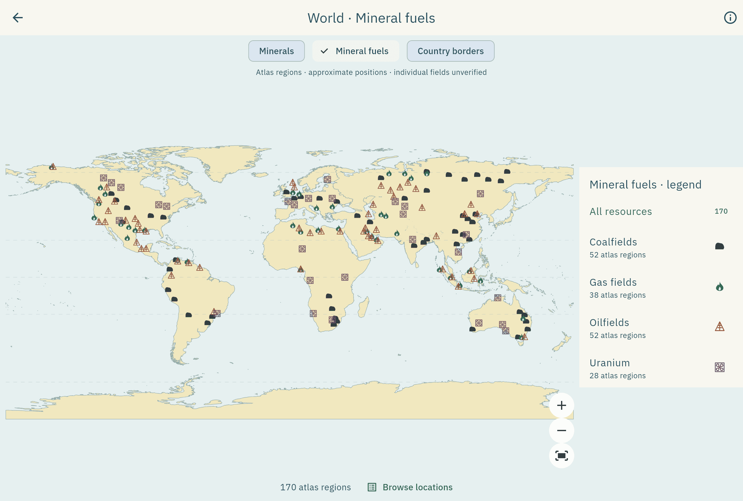
Layer 01
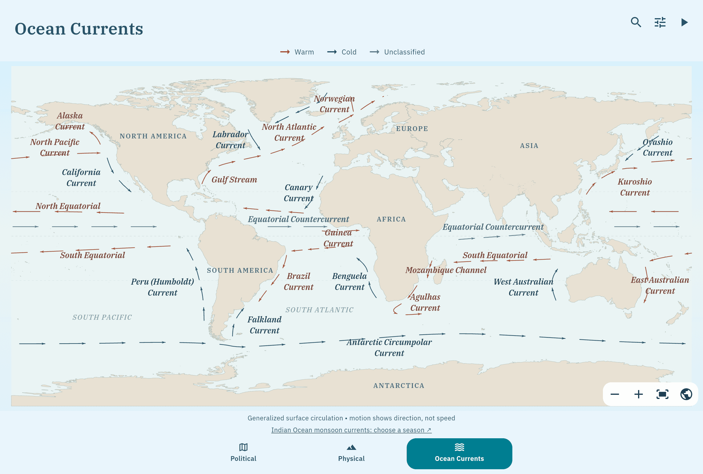
Ocean Currents
Warm and cold surface currents of every basin, drawn as curved arrows that flow at a constant speed.
- Licence
- AtlasMitra
Module 03 · Thematic maps
Nine world layers on the same flat atlas base, each drawn from a named dataset. Tap anywhere to read the value under your finger.
Layer 01
Warm and cold surface currents of every basin, drawn as curved arrows that flow at a constant speed.
Layer 02
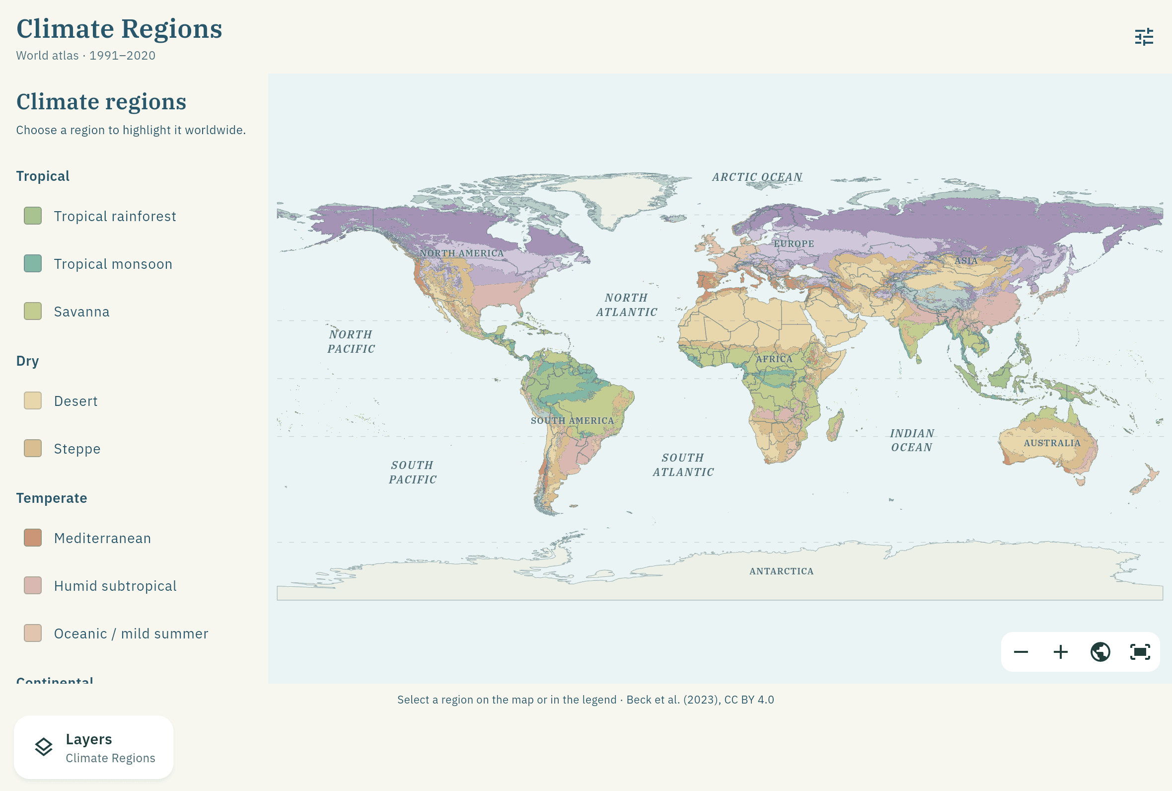
The Köppen–Geiger classes for 1991–2020 at 0.1°. Tap a region to read its climate type.
Layer 03
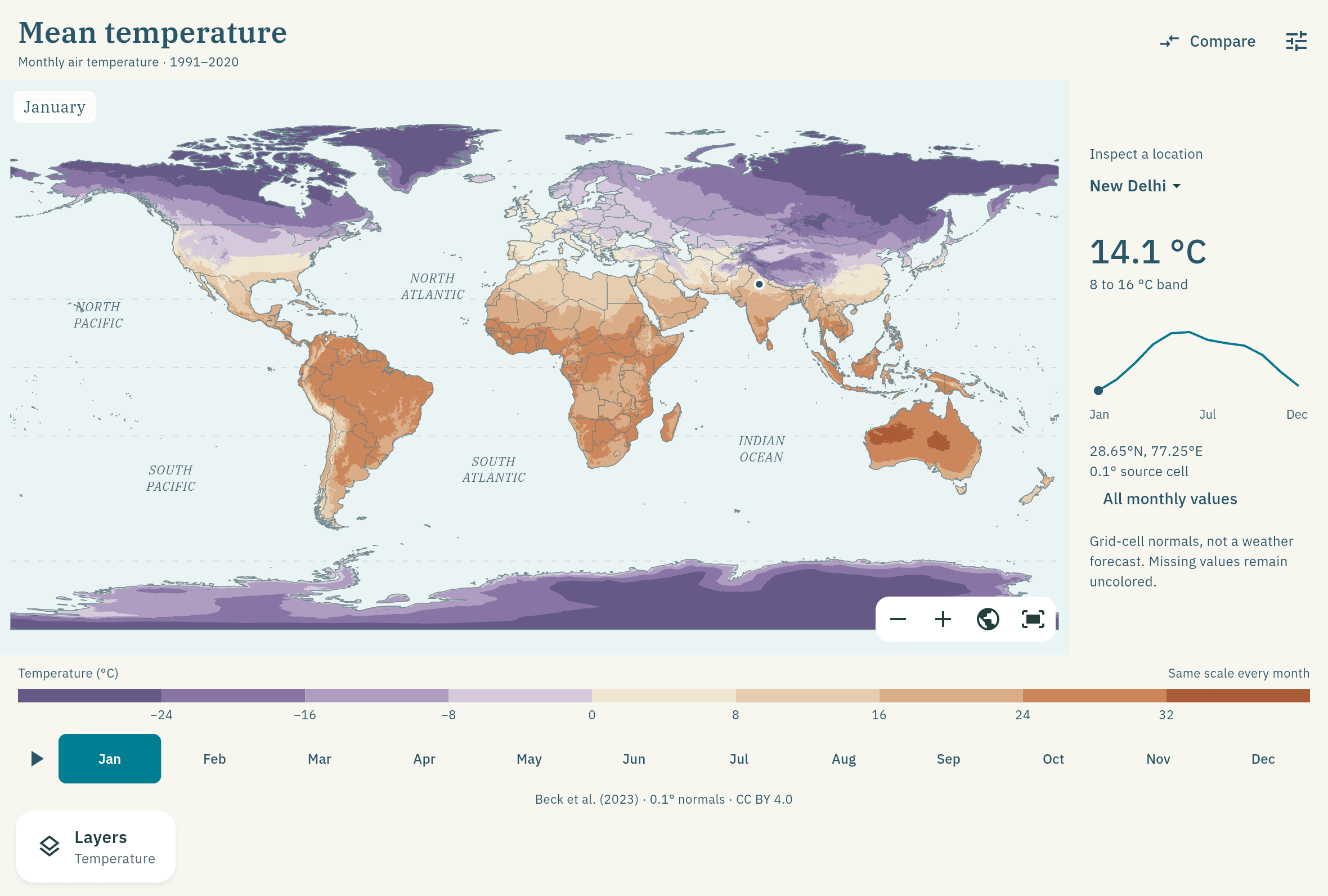
Mean air temperature for every month, with January and July side by side and a playback control.
Layer 04
The five classical heat belts, bounded by the tropics and the polar circles.
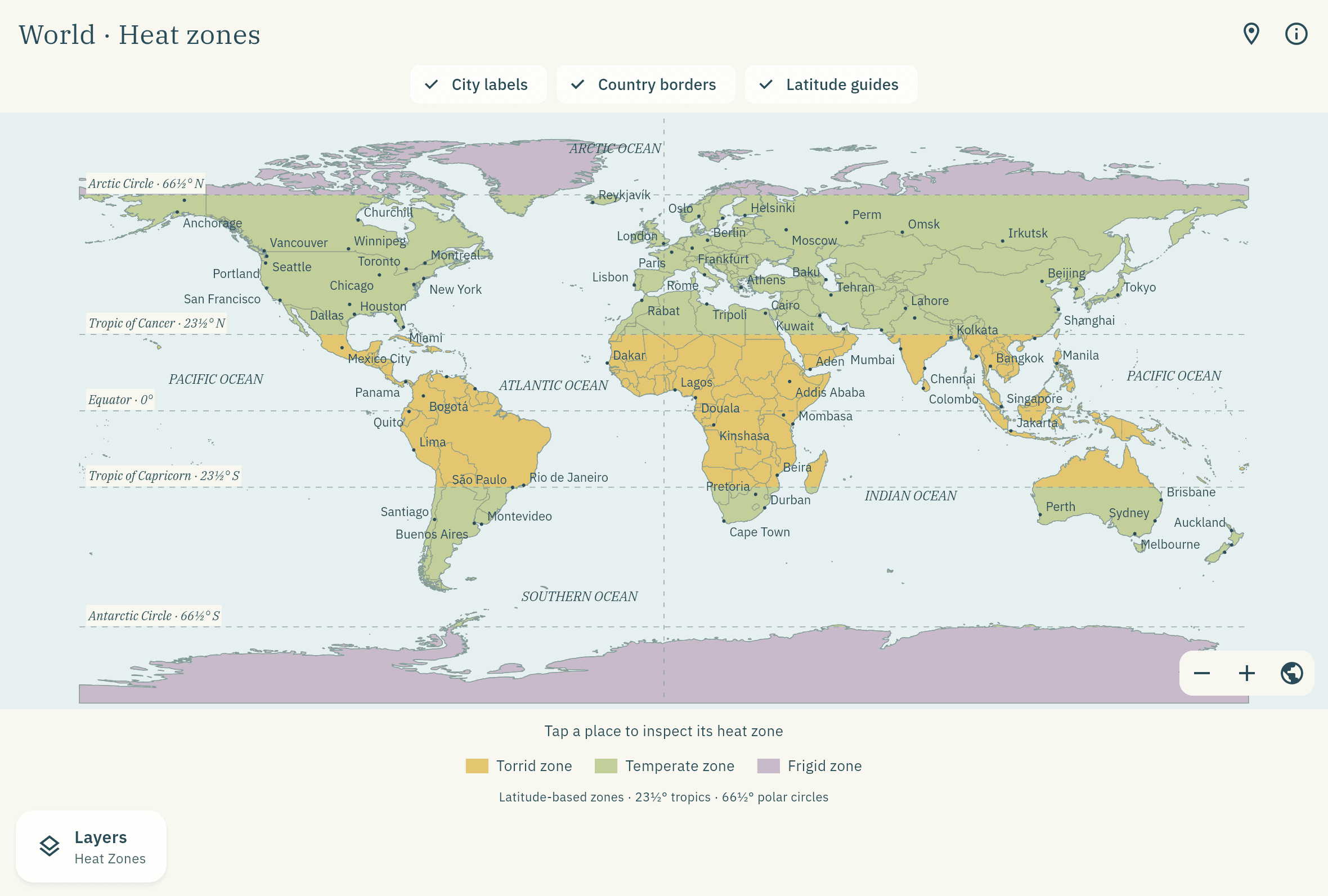
Layer 05
Total yearly precipitation, summed from twelve monthly normals. Tap anywhere to read the value.
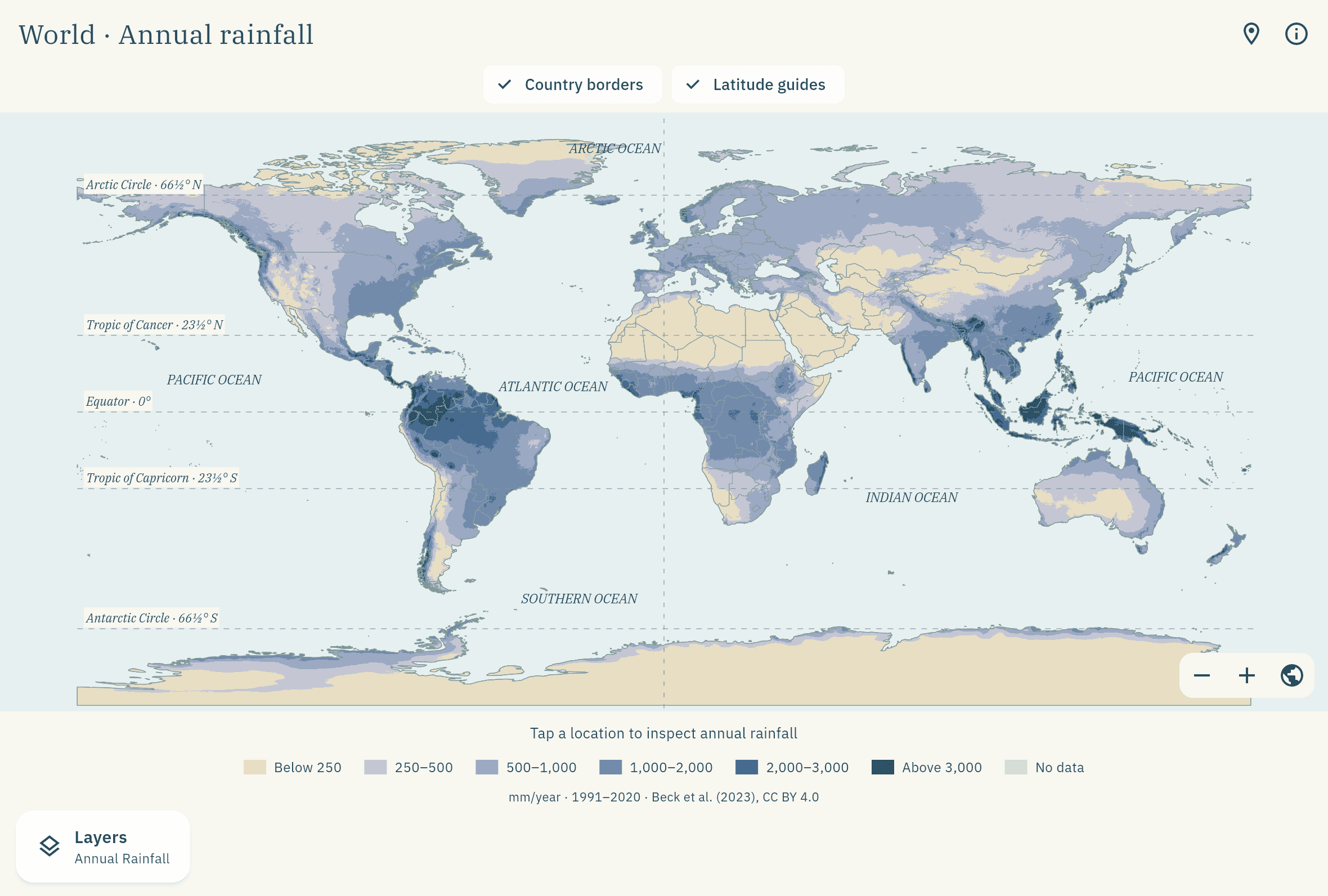
Layer 06
Pressure belts and prevailing winds for January and July, with an explicit play and pause.
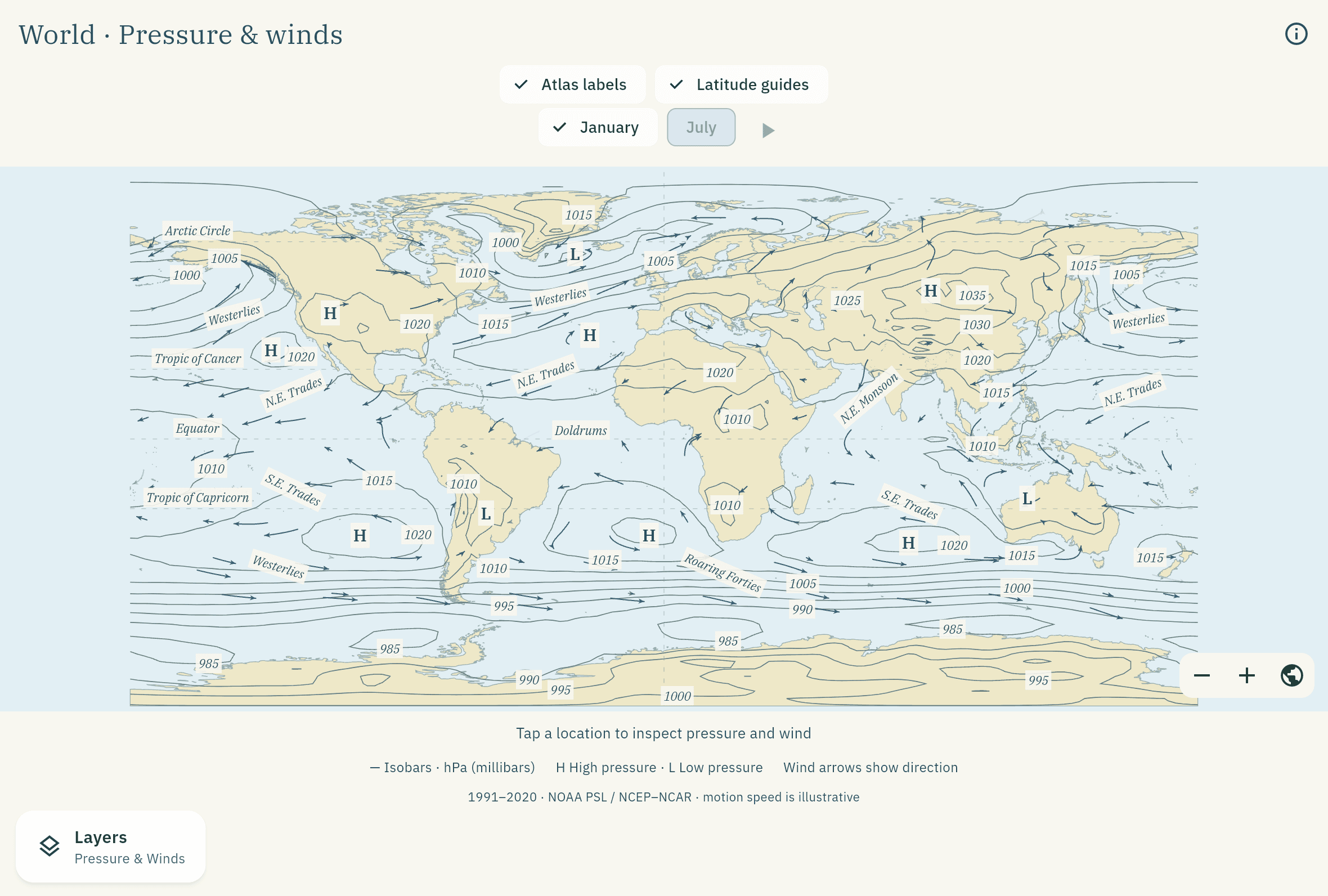
Layer 07
Broad natural biome regions, with a legend you can filter and a tap-to-inspect reading.
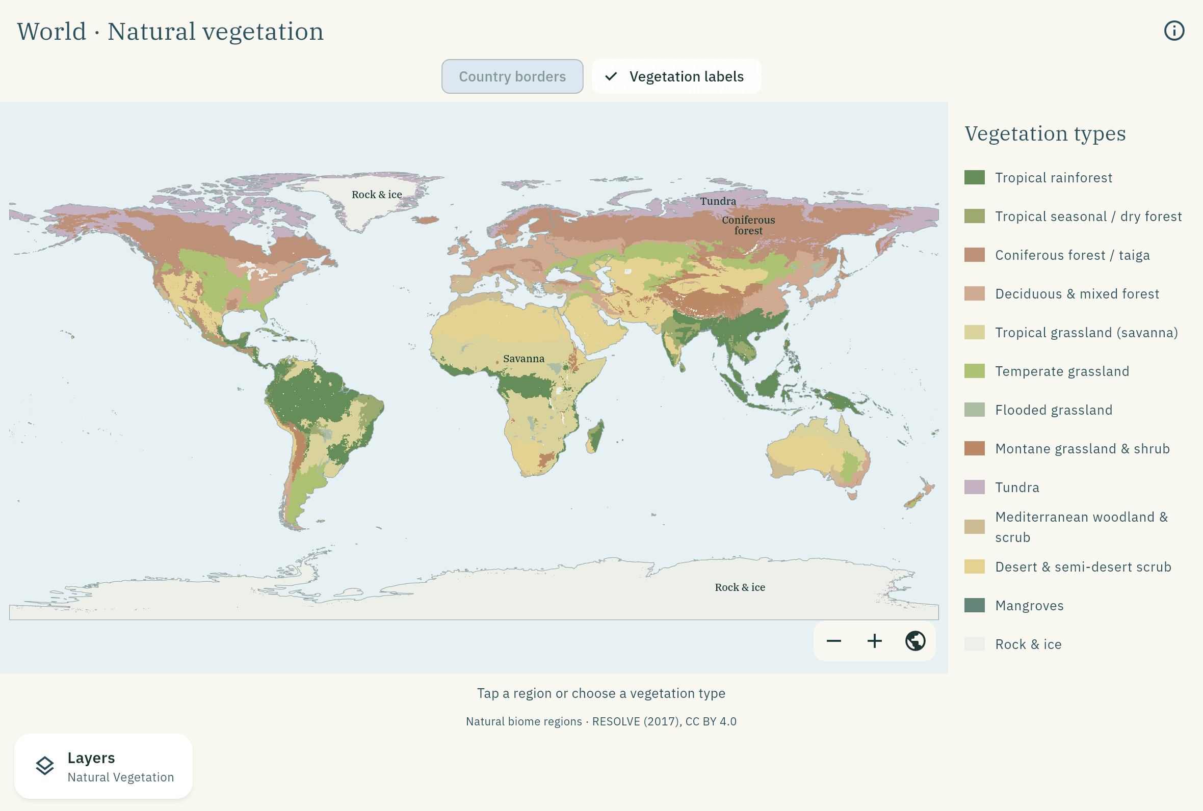
Layer 08
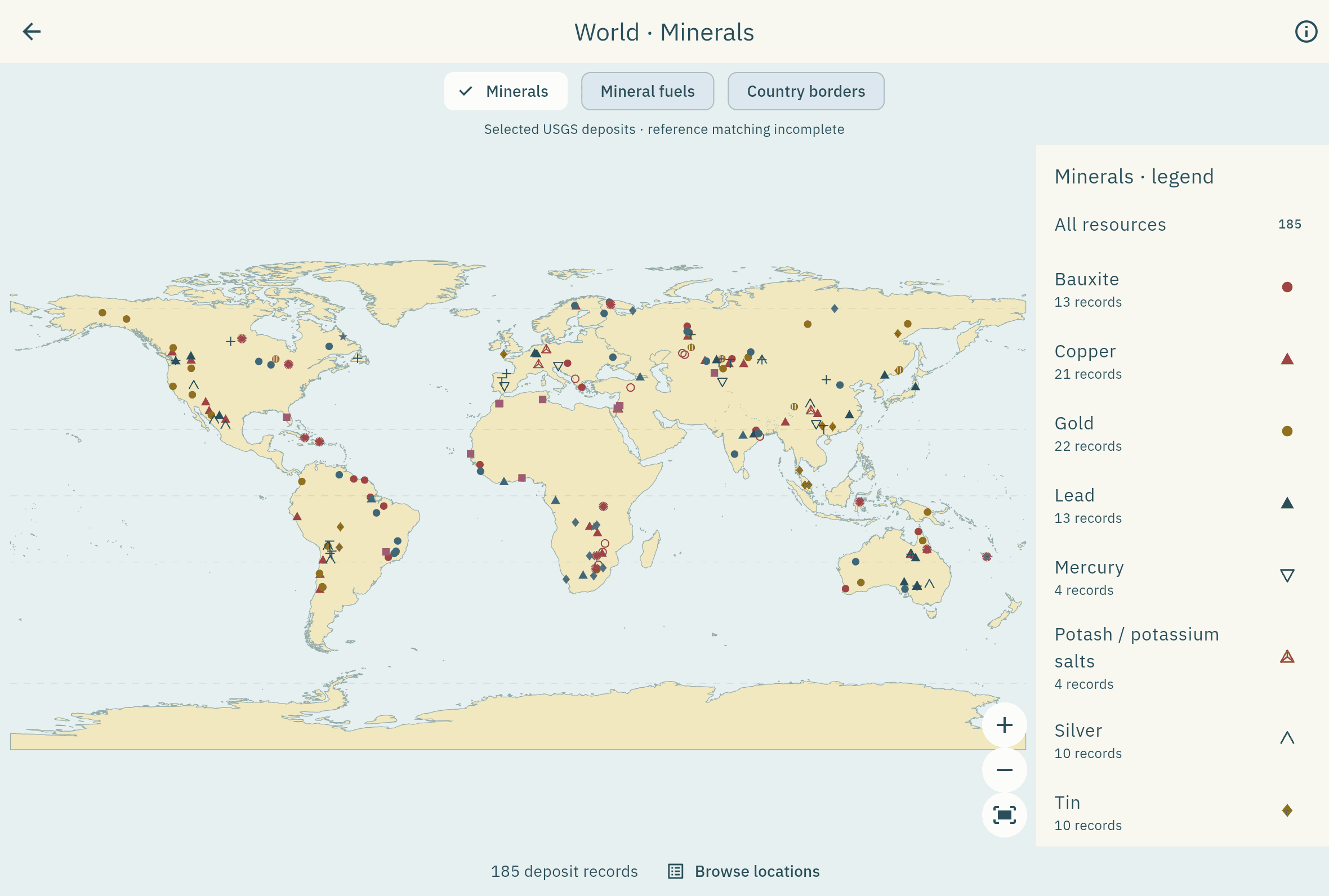
Major deposits of bauxite, copper, gold, iron and more, filterable one commodity at a time.
Layer 09
Regional markers for coal, oil, natural gas and uranium, with single-commodity filters for focused revision.