About
Why we’re building an atlas you can tap.
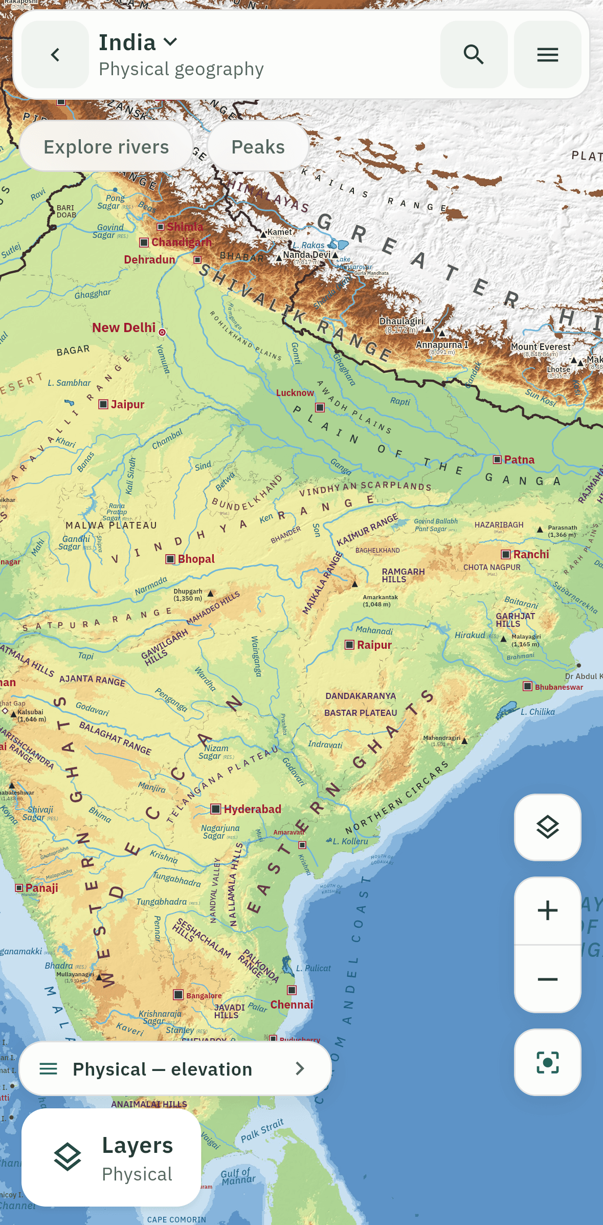
Geography is the one subject in exam preparation that lives on a map, and the map is usually the weakest part of the material: a photocopied page, a PDF on a small screen, a list of rivers learned by heart and forgotten by the next month.
AtlasMitra (mitra means friend) is an attempt to fix that. It is a real atlas, lettered with the care of a printed one, that you can tap, quiz yourself on and carry everywhere. It works without internet because aspirants study on trains, in hostels and in libraries with patchy signal. It asks for no account because your progress is nobody’s business but yours.
It also draws India correctly. India’s boundary follows the Survey of India, including PoK and Aksai Chin, and automated tests check it every time the app is built.
Who builds it
AtlasMitra is built by Pradyumna Gayake, who started it to make map work the easiest part of geography revision rather than the hardest. Every map is checked against a named source, and every source is listed on the Sources page.
Get in touch
Questions, corrections and ideas are welcome at contact@atlasmitra.com.