Module 02 · World atlas
The world, then every continent up close.
Start on the world map, double-tap a landmass and its continent opens on its own sheet, in political or physical colours. Back returns you to the world exactly where you were.
Political and physical
A world map you read like a printed atlas
The political map plots 860 labels: 208 countries and territories with their capitals and other places. The physical map has relief, rivers, lakes, glaciers and the names of ranges and plateaus. Switching between them keeps your view.
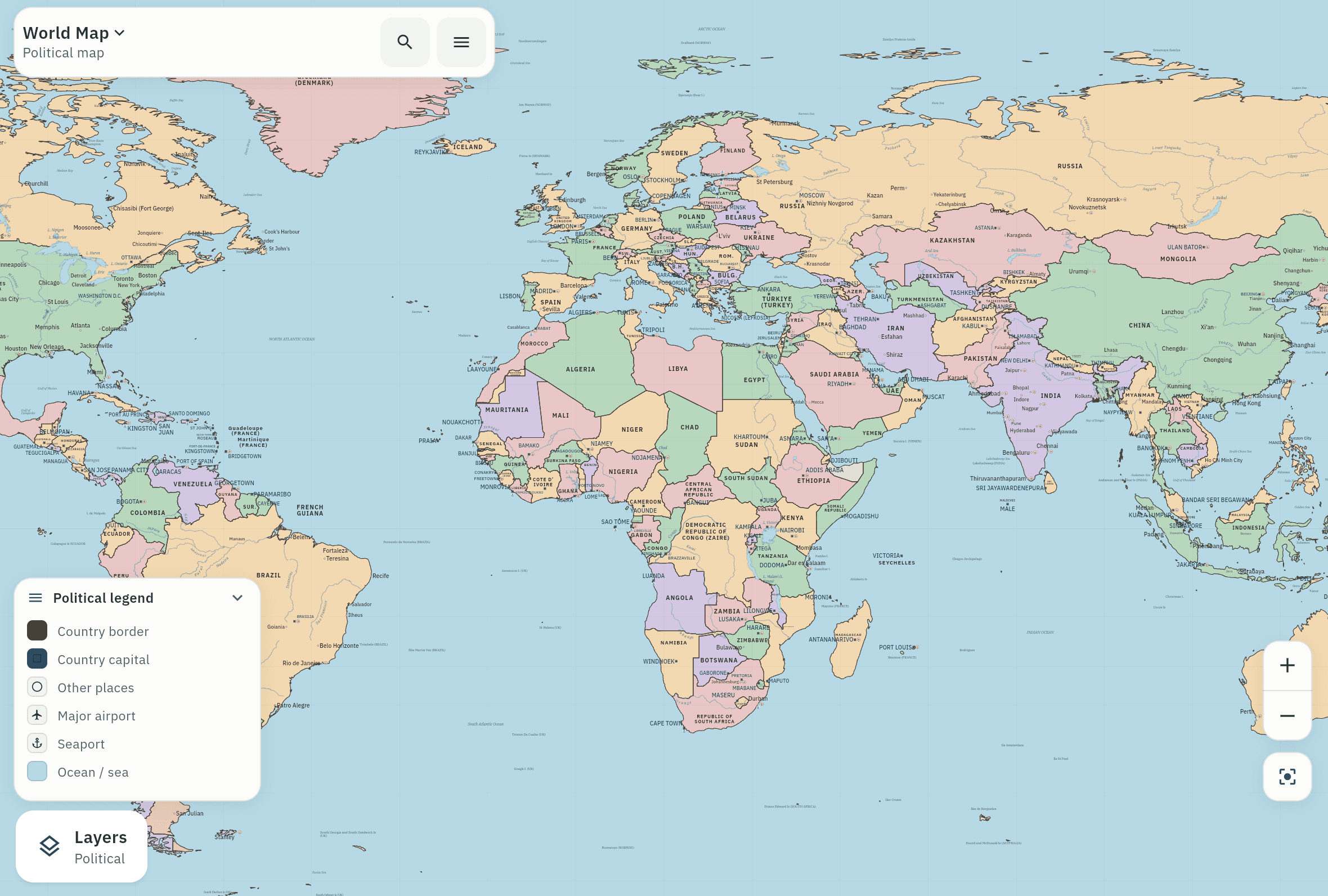
Seven continents
Each continent on its own sheet
Africa, Asia, Europe, North America, South America, Oceania and Antarctica, each with political colours and a shaded-relief physical view. Antarctica is one land unit; no claim sectors are invented.
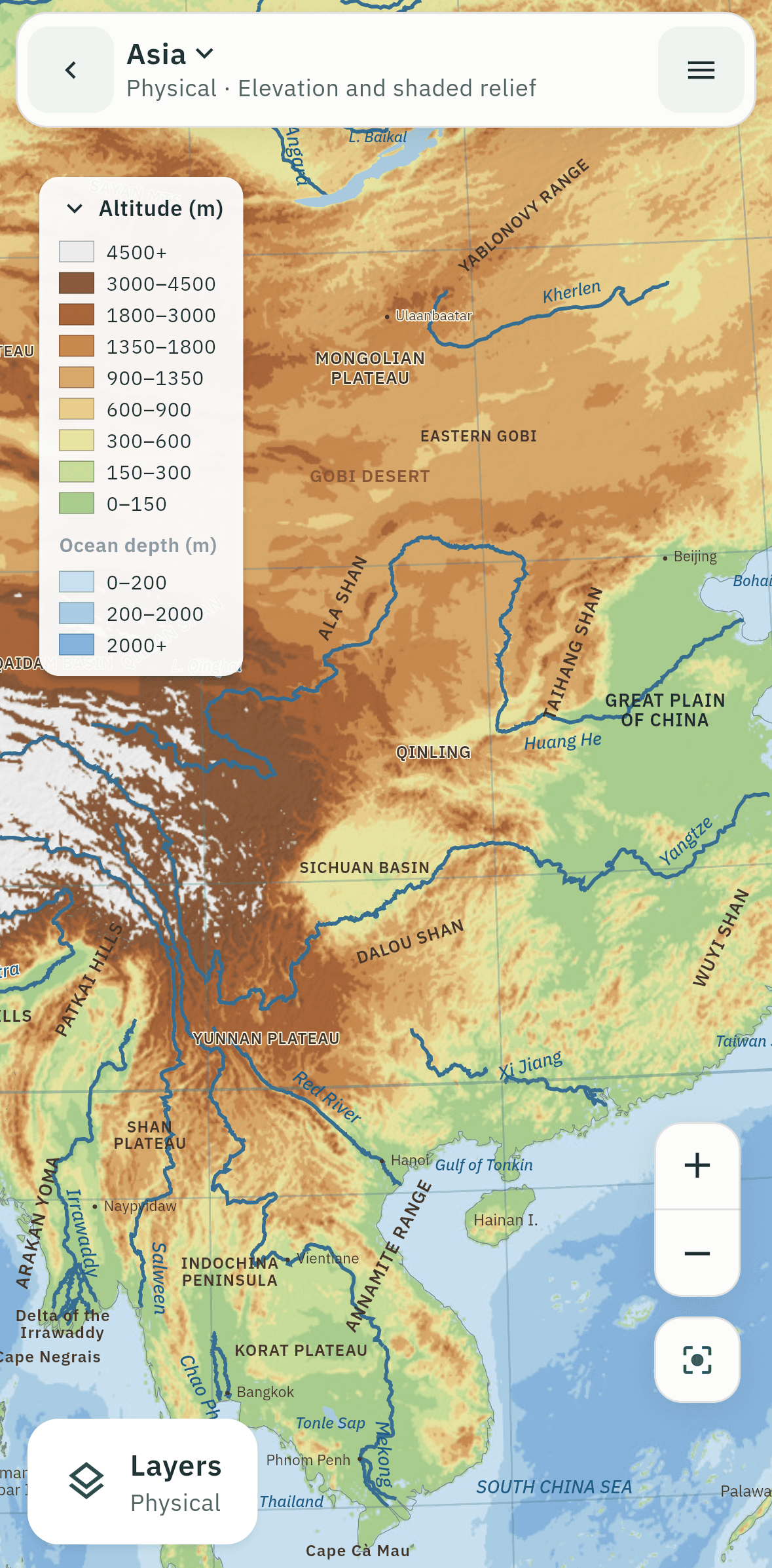
Asia · Physical 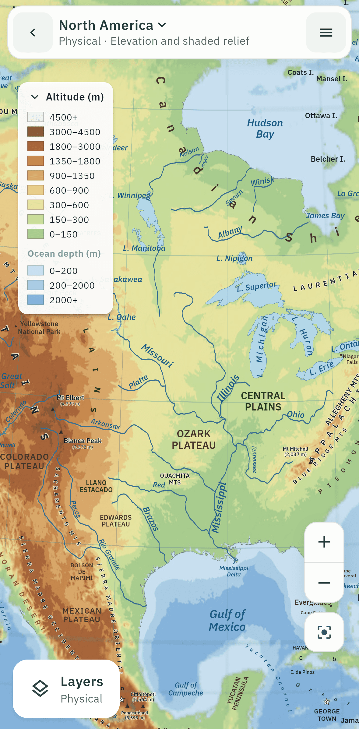
North America · Physical 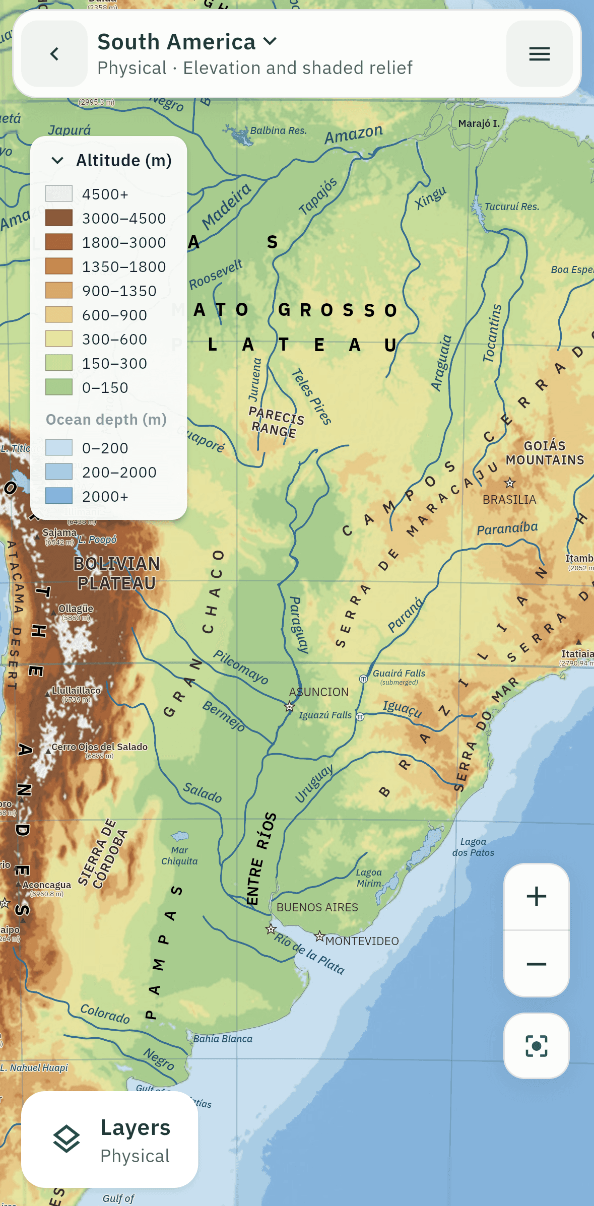
South America · Physical 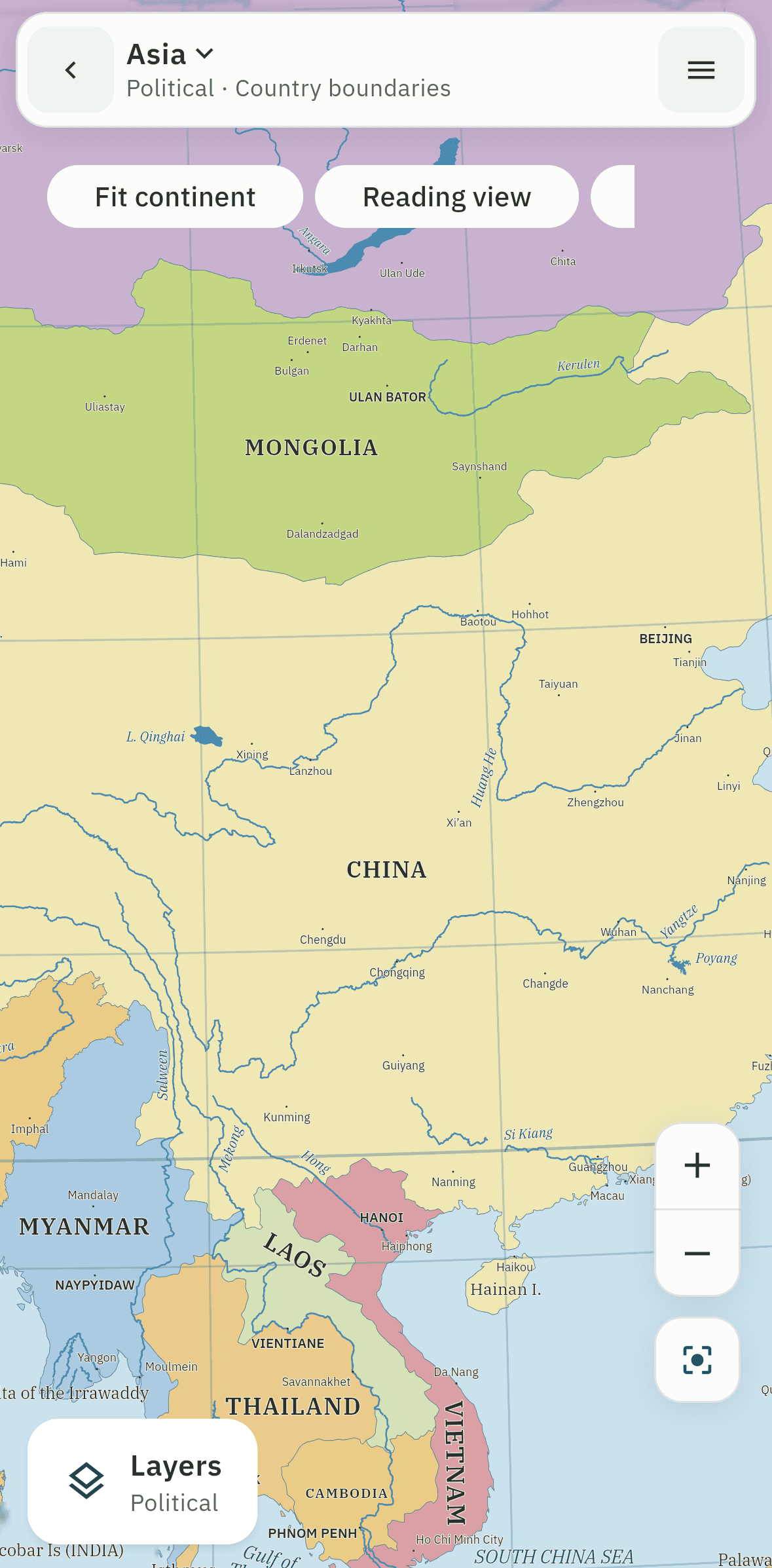
Asia · Political 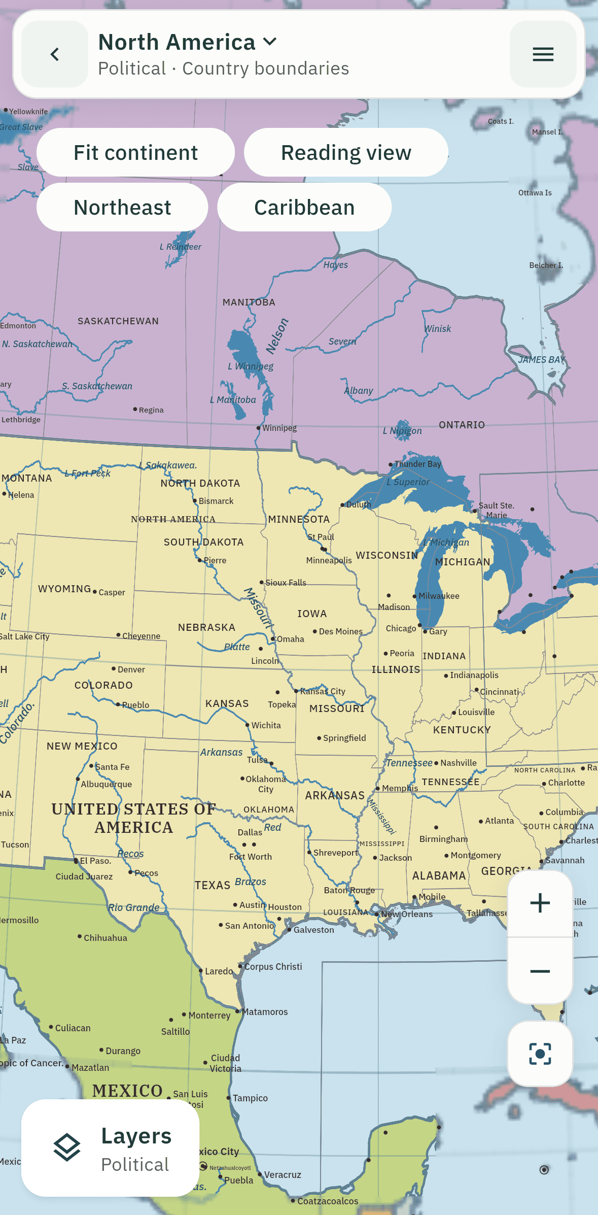
North America · Political 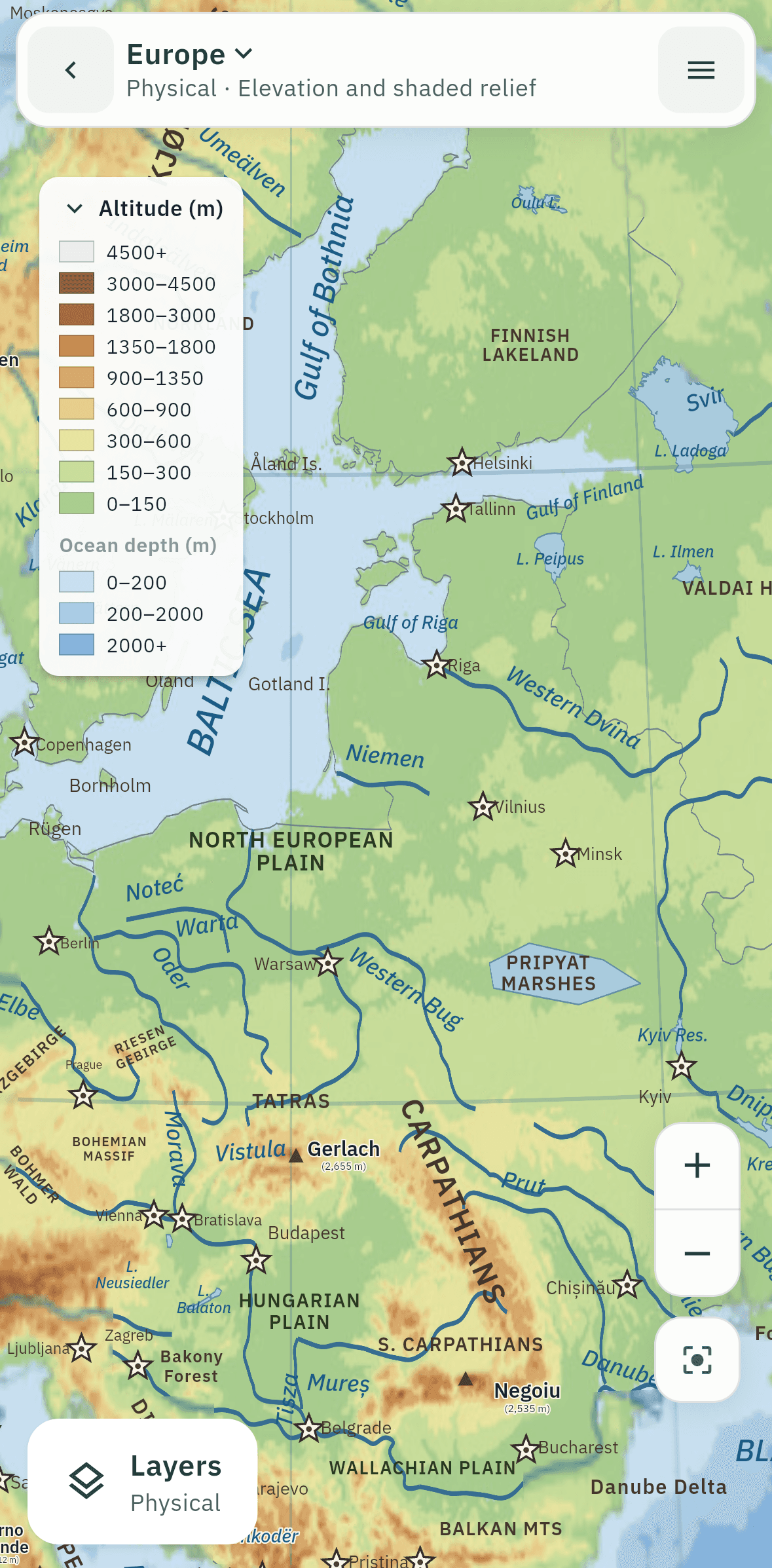
Europe · Physical 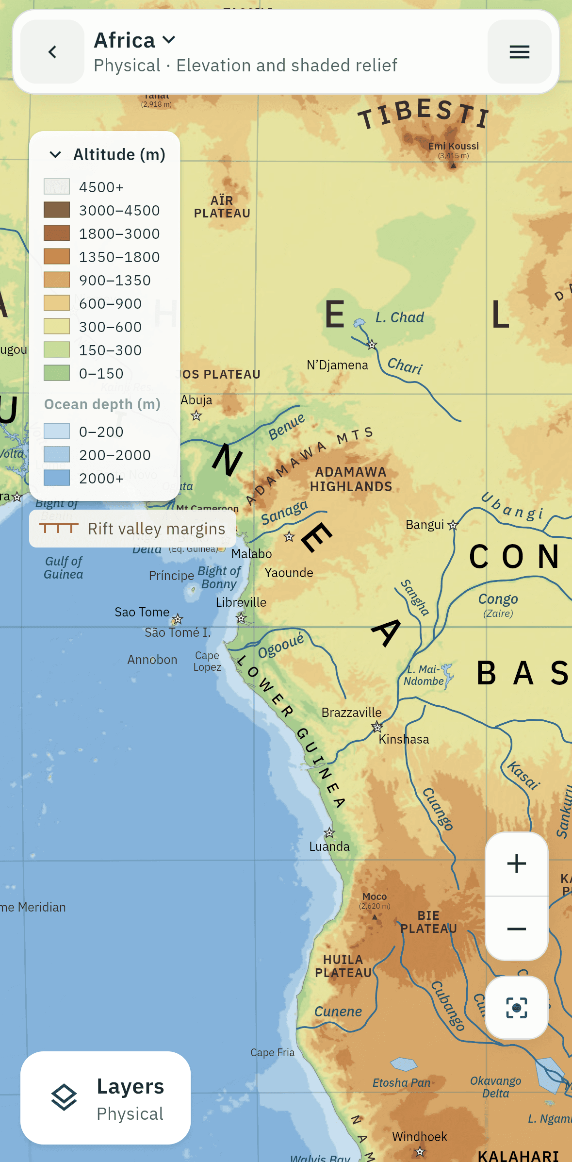
Africa · Physical